Miami & Erie Canal Scenic Byway

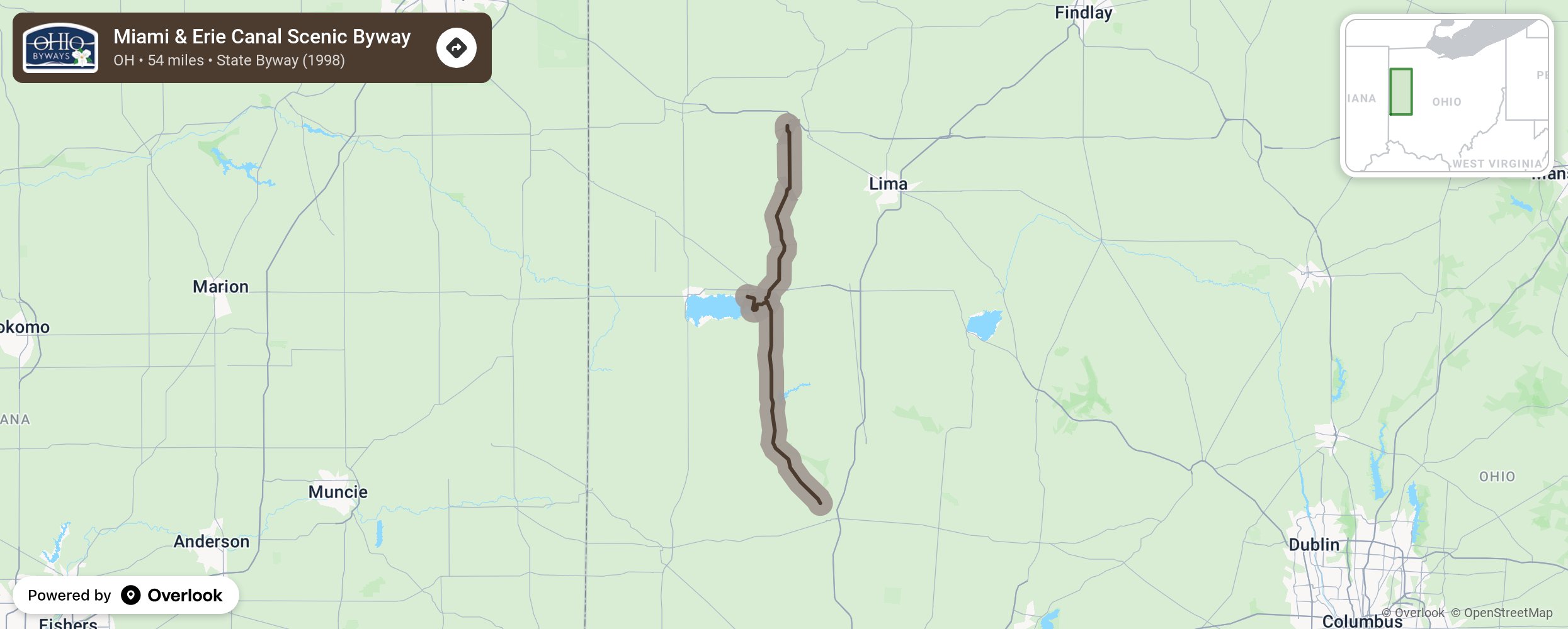
This 54-mile byway follows part of the original route of the Miami and Erie Canal, an important 19th century transportation route from Lake Erie to Cincinnati. The canal operated in the 1840 and 1860 era but was replaced by the railroads. Visitors can enjoy a canal boat ride at the Johnston Farm & Indian Agency, formerly known as the Piqua Historical Area, or hike through the many trails and state parks near the byway. This byway follows State Route 66 and the canal corridor from Johnson Farm at Piqua in Miami County, northward through Minster, New Bremen, St. Mary's and Spencerville, ending in Delphos in Allen County, a distance of 54 miles. More from National Scenic Byway Foundation →
Embed this map on your site
You are welcome to add this map to your own website for free, as long as you do so using the below code snippet in its entirety.
Please get in touch with us if you have any questions!
      <iframe src="https://overlookmaps.com/byways/oh-miami-erie-canal-scenic-byway"></iframe>
    <a href="https://overlookmaps.com/">Map courtesy of Overlook Maps</a>