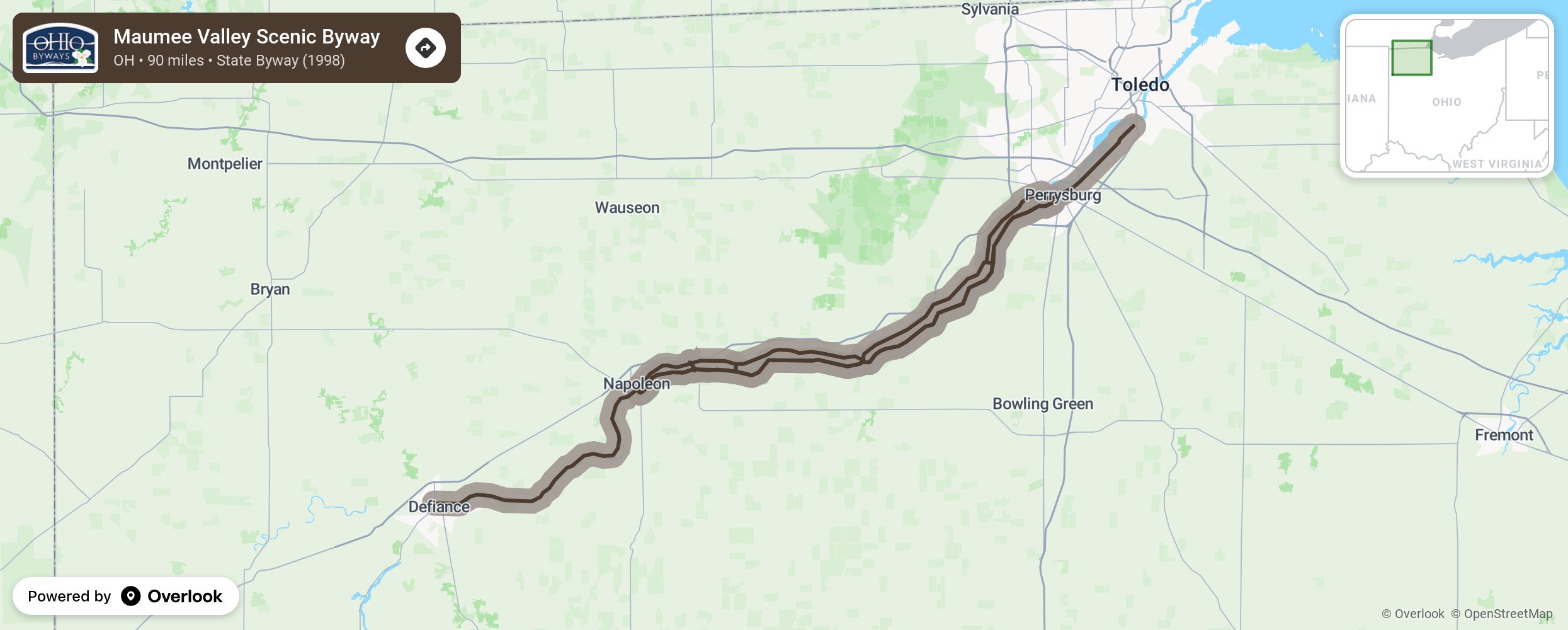
Maumee Valley Scenic Byway

The nearly 90-mile route begins on the north side of the Maumee River in the City of Defiance at the intersection of State Route 15 and River Drive (CR 424). The byway follows River Road eastward through Napoleon, Waterville and into Maumee to the site of the former British Fort Miamis, now a city park, where it ends. On the south side of the Maumee, the byways starts at Napoleon on State Route 110 and continues on State Route 65 through the historic towns of Grand Rapids, Perrysburg and Rossford, ending at I-75. More from National Scenic Byway Foundation →
Embed this map on your site
You are welcome to add this map to your own website for free, as long as you do so using the below code snippet in its entirety.
Please get in touch with us if you have any questions!
      <iframe src="https://overlookmaps.com/byways/oh-maumee-valley-scenic-byway"></iframe>
    <a href="https://overlookmaps.com/">Map courtesy of Overlook Maps</a>