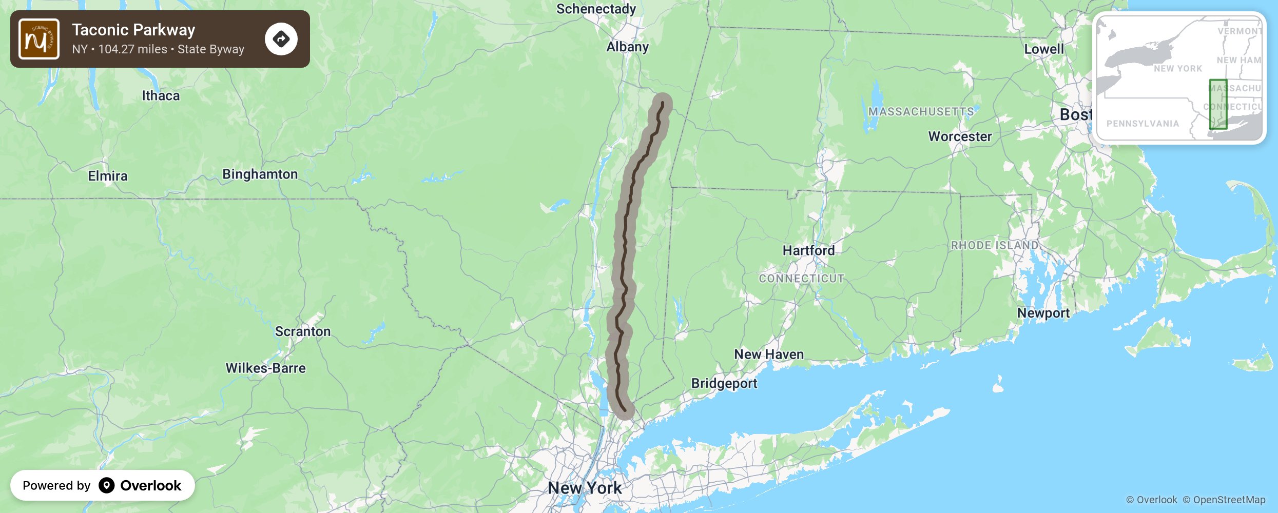
Taconic Parkway

Franklin D. Roosevelt long envisioned a scenic road through the eastern Hudson River Valley. He was instrumental in making it a reality as a way to provide access to numerous state parks in the region. Its winding, hilly route was designed by landscape architect Gilmore Clarke to offer scenic vistas of the Hudson Highlands, Catskills and Taconic regions. The bridges and now-closed service areas were designed to be aesthetically pleasing. It has been praised for the beauty of not only the surrounding landscape and views it offers, but the way the road itself integrates with and presents them. The entire parkway was listed on the National Register of Historic Places in 2005. More from National Scenic Byway Foundation →
Embed this map on your site
You are welcome to add this map to your own website for free, as long as you do so using the below code snippet in its entirety.
Please get in touch with us if you have any questions!
      <iframe src="https://overlookmaps.com/byways/ny-taconic-parkway"></iframe>
    <a href="https://overlookmaps.com/">Map courtesy of Overlook Maps</a>