The Black River Trail

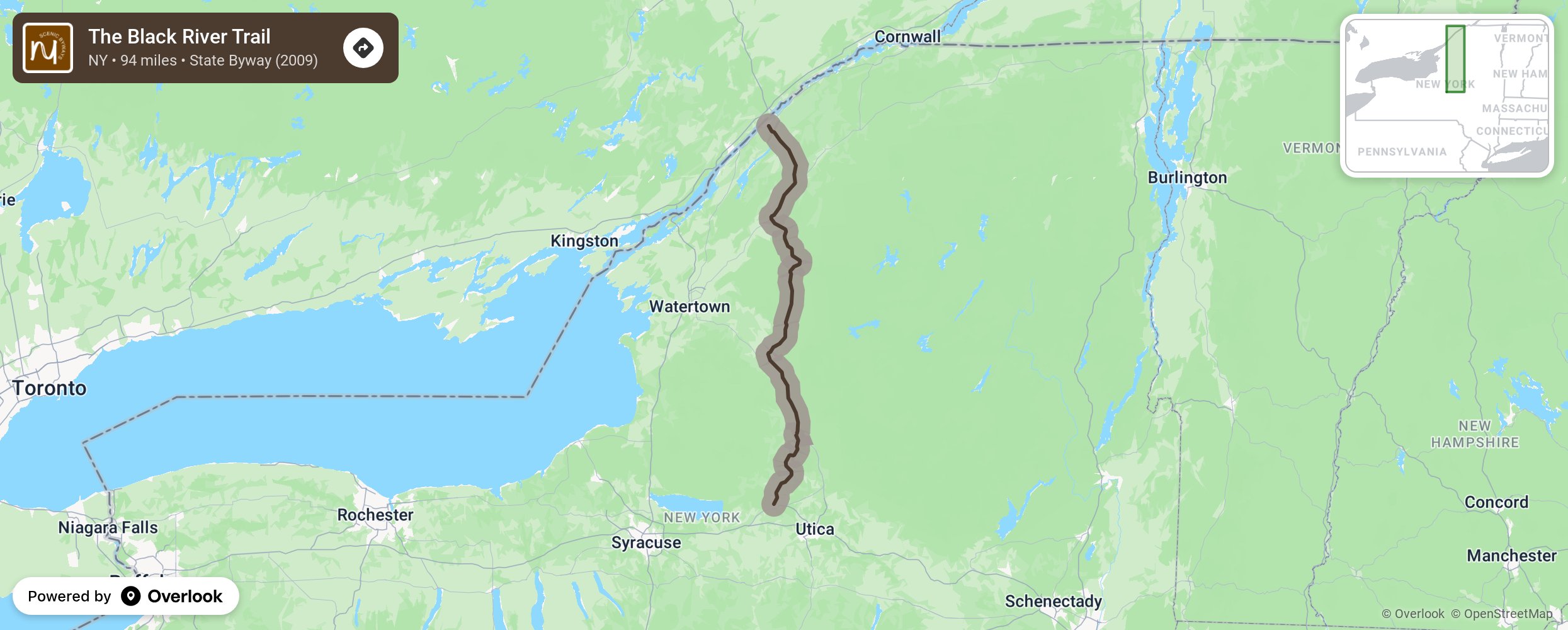
The Black River Trail Scenic Byway is a 94-mile travel and transportation corridor that begins in the City of Rome at the southern end and gently weaves travelers through quaint communities to the Village of Dexter and the Black River Bay on Lake Ontario. The Black River Valley corridor, nestled between the Tug Hill Plateau to the West and the Adirondacks to the East, invites travelers to enjoy the diverse geological, cultural, water-based industrial, working landscape, natural, and recreational history that can all be linked to the significant beauty and function of the Black River. The Black River Trail Scenic Byway is a series of lesser traveled highways that inspire users to recharge and recreate in and along the Black River, where the changing character of the River is as wonderfully diverse as its nearby communities. As simply a driving tour, it will charm with picturesque landscapes and the promise of new vistas waiting just around the corner…or river’s bend. But the Byway also beckons passersby to stop and share in the experience—grab a paddle, set up camp, shop historic downtown community centers, and learn about each unique community, all the while inspiring them to anticipate upcoming adventures. More from National Scenic Byway Foundation →
Embed this map on your site
You are welcome to add this map to your own website for free, as long as you do so using the below code snippet in its entirety.
Please get in touch with us if you have any questions!
      <iframe src="https://overlookmaps.com/byways/ny-black-river-trail"></iframe>
    <a href="https://overlookmaps.com/">Map courtesy of Overlook Maps</a>