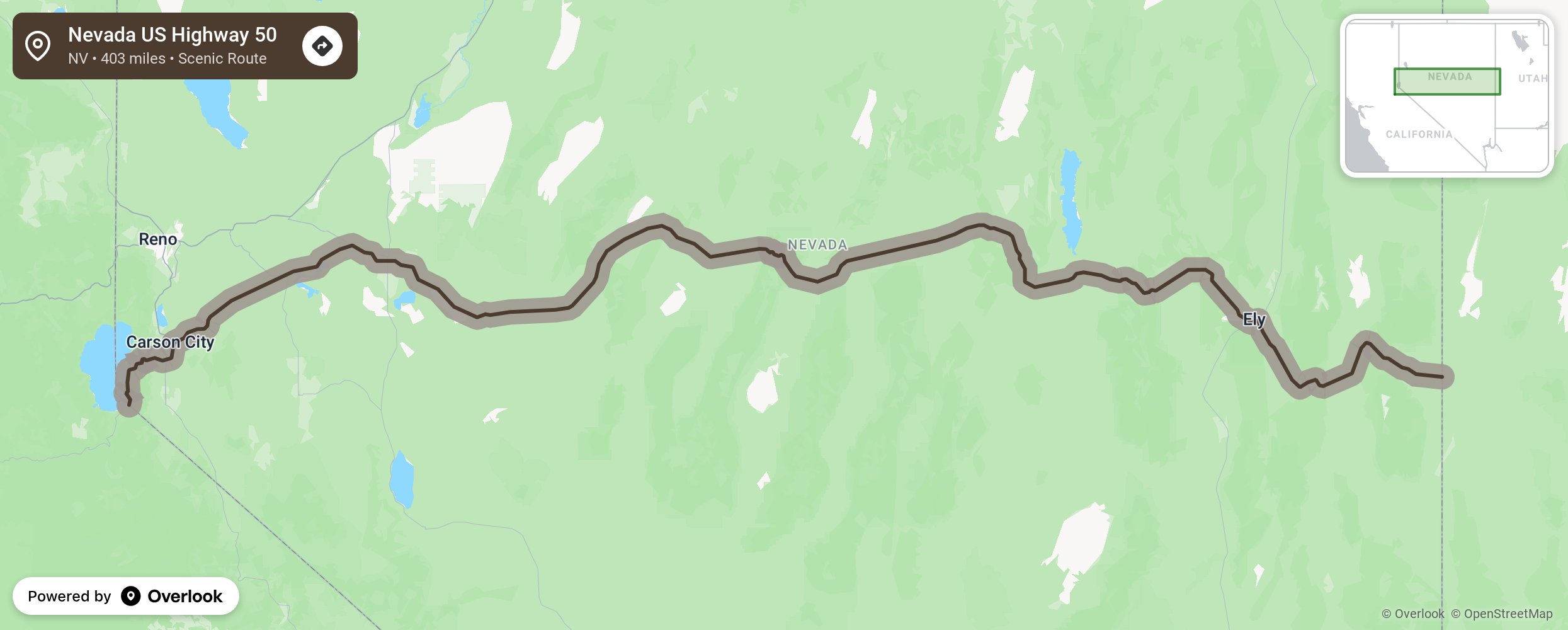
Nevada US Highway 50

The Loneliest Road roughly parallels the Pony Express Trail, which goes from Silver Springs through Fallon and along the towns across Highway 50. Stretching the width of Nevada, the Loneliest Road is a fascinating scenic and historic corridor which travels through snow-mantled mountains with summits of more than 11,000 feet. Travelers can easily access ghost town sites and historical cemeteries. They can view a variety of wildlife including elk, antelope, wild horses, bighorn sheep, and desert fox. Camping and picnicking places abound, and there are many off-road, hiking, snowmobiling and skiing trails. Historical markers point out where significant sites are located. The magnificent Great Basin National Park is found just a short distance off the route. The Great Basin National Park has several sites listed in the National Registry of Historic Places. The Loneliest Road winds through high mountain desert blanketed with sagebrush. Many species of flora can be identified. Travelers find warm or hot days and cool nights in the summer. Bands of sheep with their herders and working sheepdogs can often be spotted. Small bands of wild horses can be seen across the plain as deer doze in the shade of pinion pine trees. Other wildlife and birds of prey are often seen. Travelers are well rewarded by the almost surrealistic intensity of the wild western landscape. Deep blue skies and jagged stone tower above the bone white desert floor. The hypnotic rhythm of telephone poles march single file, a solemn procession beside the road.
Embed this map on your site
You are welcome to add this map to your own website for free, as long as you do so using the below code snippet in its entirety.
Please get in touch with us if you have any questions!
      <iframe src="https://overlookmaps.com/byways/nv-us-highway-50"></iframe>
    <a href="https://overlookmaps.com/">Map courtesy of Overlook Maps</a>