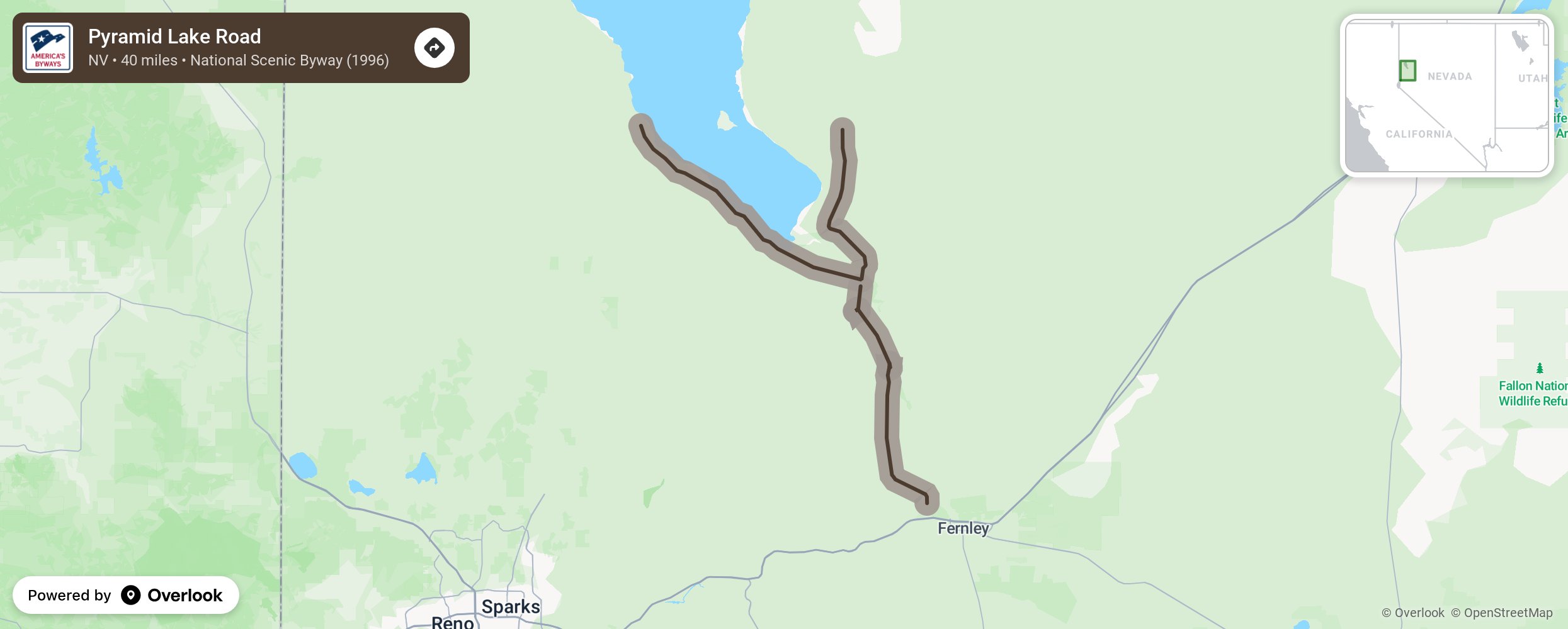
Sponsored by Native Americans, the byway is a Y-shaped route that runs partially along and from the southern end of this desert-locked body of water. The byway, which is located within the Pyramid Lake Indian Reservation, passes fish hatcheries run by the Paiutes. Keep an eye out for the rock formations for which the lake and byway are named.
More from National Scenic Byway Foundation →
Embed this map on your site
You are welcome to add this map to your own website for free, as long as you do so using the below code snippet in its entirety.