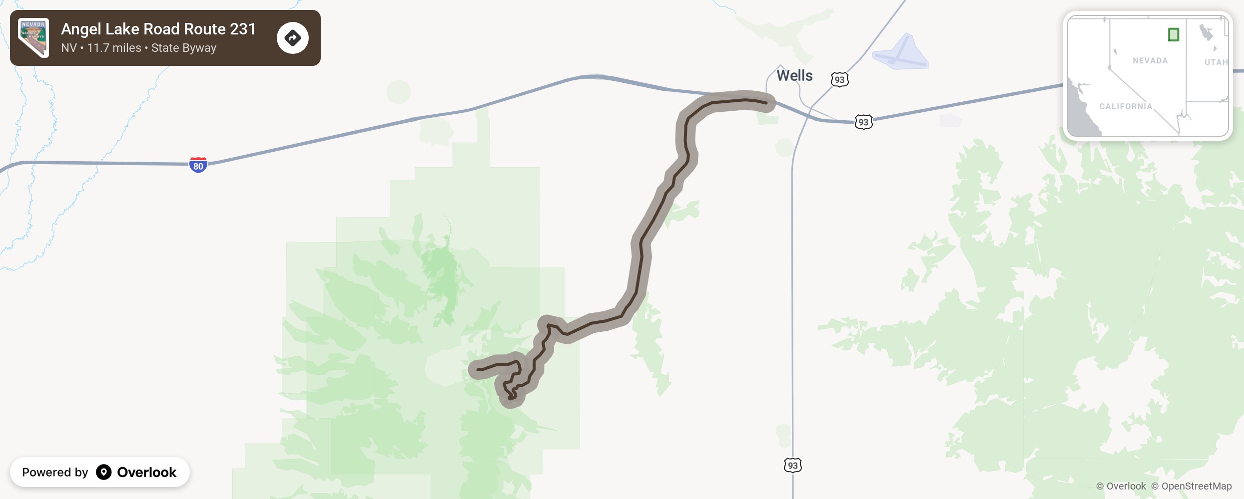
Angel Lake Road Route 231

In northeastern Nevada lies Angel Lake, a glacial tarn formed in a glacial-carved cirque. As you climb from Interstate 80’s exit 351 in Wells to the eastern shore of the lake, feel the rise in elevation to 8378 feet and take in the pristine and panoramic views of the 13-acre lake. Stop and enjoy picnicking, fishing, non-power boating, backpacking, and hiking. Bring your camping gear and enjoy the campground with 26 sites and 9 picnic sites with potable water, vault toilets, and on-site hosts. More from National Scenic Byway Foundation →
Embed this map on your site
You are welcome to add this map to your own website for free, as long as you do so using the below code snippet in its entirety.
Please get in touch with us if you have any questions!
      <iframe src="https://overlookmaps.com/byways/nv-angel-lake-road"></iframe>
    <a href="https://overlookmaps.com/">Map courtesy of Overlook Maps</a>