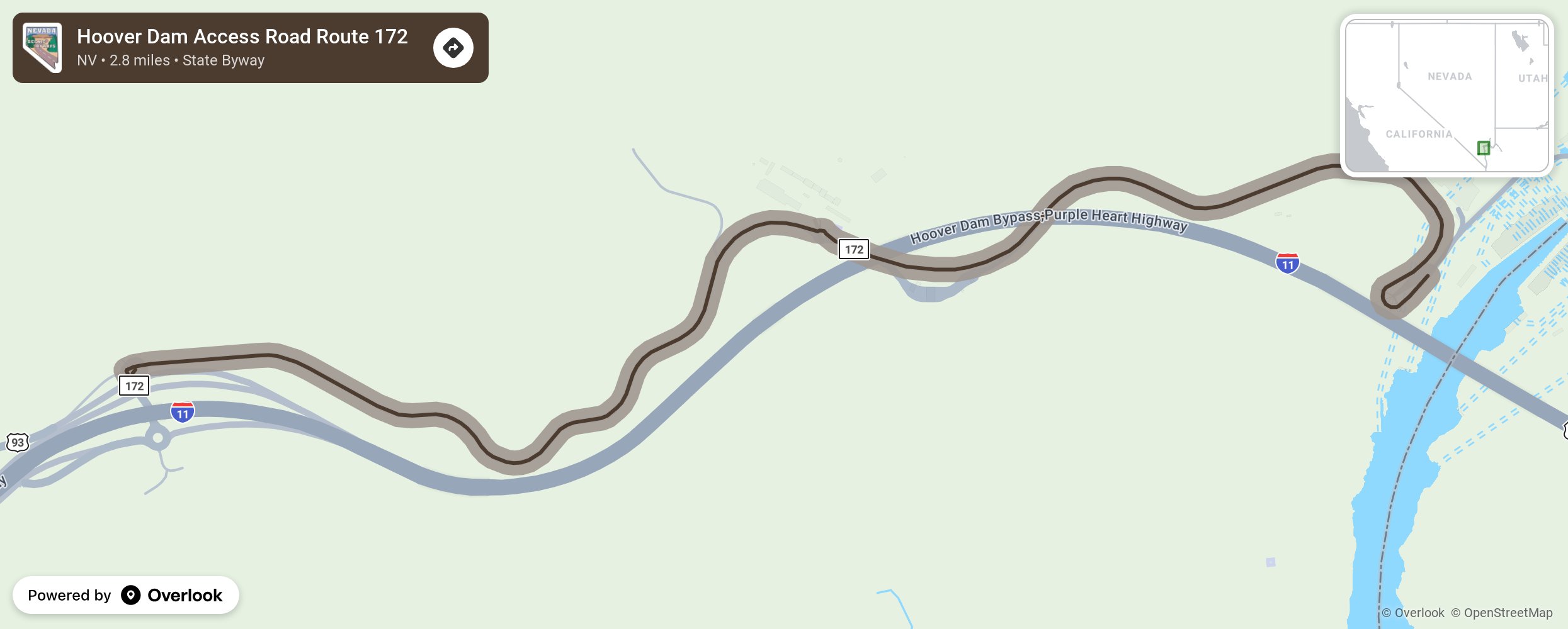
Hoover Dam Access Road Route 172

Hoover Dam Access Road or Route 172 exits Interstate 11 and travels just north of the interstate in an easterly direction to the Hoover Dam. Stop by the Hoover Dam security checkpoint for tickets and information before traveling on to the bridge parking area and viewing the Mike O’Callaghan-Pat Tillman Memorial Bridge with its interstate travelers. The Hoover Dam is a little further east. You can drive over the top of it, but there is no stopping. Park in a lot on the Arizona side and walk back to experience the new pedestrian walkway. The Hoover Dam was constructed in 1931-1936 during the Great Depression. It is a concrete arch-gravity dam in the Black Canyon of the Colorado River at the border between Nevada and Arizona. More from National Scenic Byway Foundation →
Embed this map on your site
You are welcome to add this map to your own website for free, as long as you do so using the below code snippet in its entirety.
Please get in touch with us if you have any questions!
      <iframe src="https://overlookmaps.com/byways/nv-hoover-dam-access-road-route-172"></iframe>
    <a href="https://overlookmaps.com/">Map courtesy of Overlook Maps</a>