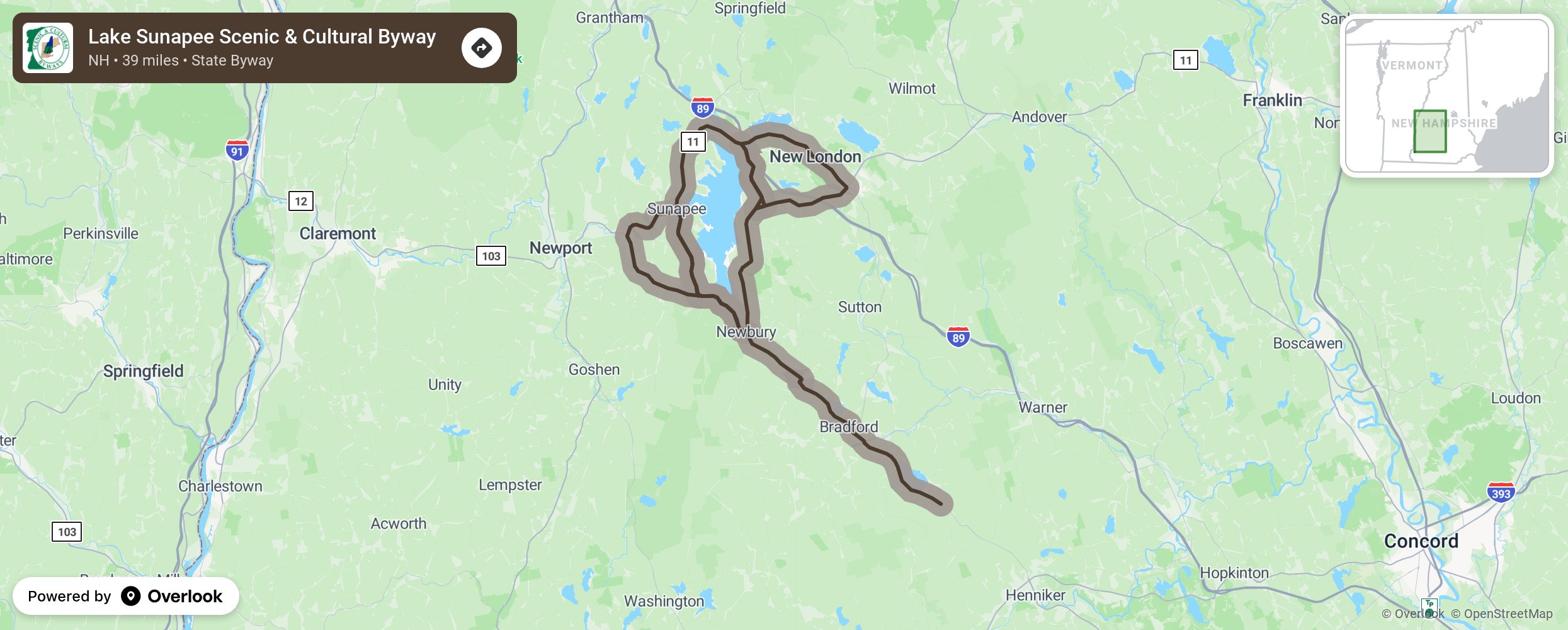
Lake Sunapee Scenic & Cultural Byway

The Lake Sunapee Scenic Byway welcomes travelers seeking alternatives to the beaten path, linking several villages, each with a unique connection to the history and culture of the Lake Sunapee region. The 39-mile route encircles Lake Sunapee, connecting visitors to vibrant communities and natural scenery. The lakes, mountains, and forests offer striking vistas and a multitude of recreational opportunities. In the village centers, history and modern-day culture converge, where old buildings are adapted for new uses and the traditions of yesteryear are still observed. The Lake Sunapee Scenic Byway meanders through a rural New England landscape, with forested hills and fields. The intermittent glimpses and occasional panoramic views of Lake Sunapee and the undeveloped mountainsides around the lake are the true scenic gems of the Byway. Along the way, the Byway passes through several centers of cultural activity and historical significance: the villages of Sunapee Harbor, Newbury Harbor, and New London, as well as The Fells and Mount Sunapee. The Byway also connects visitors to recreation on Lake Sunapee and the surrounding hills and mountains. Visitor information centers in each of the three towns along the Byway can direct travelers to the unique attractions and amenities to be found in the Lake Sunapee region. More from National Scenic Byway Foundation →
Embed this map on your site
You are welcome to add this map to your own website for free, as long as you do so using the below code snippet in its entirety.
Please get in touch with us if you have any questions!
      <iframe src="https://overlookmaps.com/byways/nh-lake-sunapee-scenic-byway"></iframe>
    <a href="https://overlookmaps.com/">Map courtesy of Overlook Maps</a>