American Independence Byway

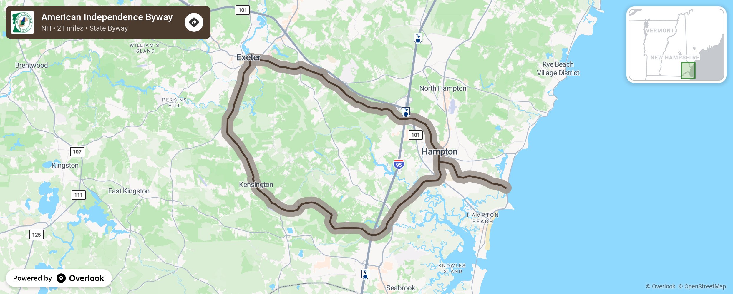
The American Independence Byway is a State Scenic & Cultural Byway that winds through the heart of two of New Hampshire’s four original towns -- Exeter (1638) and Hampton (1639) - and two of the smaller towns that were later divided from them—Hampton Falls and Kensington. The 21 mile roadway loop, which takes about an hour to drive, affords sweeping views of fields and woodlands, marshes and the Atlantic Ocean; as well as a sampling of life and architecture from colonial days to the present at every turn. Whether you’re a history buff or nature lover, enjoy exploring unique ships and restaurants, or are simply looking to experience the quintessential beauty of a New England autumn, the American Independence Byway will draw you in! More from National Scenic Byway Foundation →
Embed this map on your site
You are welcome to add this map to your own website for free, as long as you do so using the below code snippet in its entirety.
Please get in touch with us if you have any questions!
      <iframe src="https://overlookmaps.com/byways/nh-independence-byway"></iframe>
    <a href="https://overlookmaps.com/">Map courtesy of Overlook Maps</a>