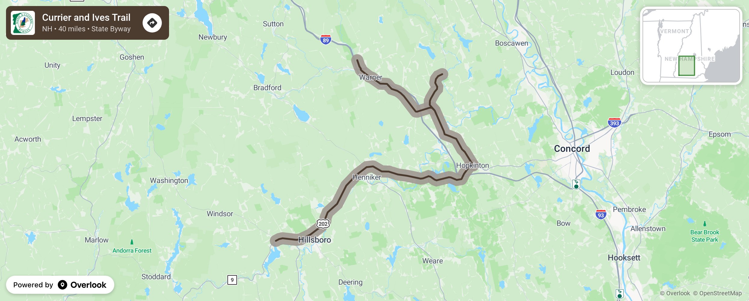
Currier and Ives Trail

Iconic images of the 19th century are our inspiration as we invite you to . . . Picture Yourself This Way! Nathaniel Currier and James Merritt Ives became popular print makers at a time when the industrial revolution was creating nostalgia for a simpler era. Over a century later, folks are finding iconic New England villages and active recreation along the Currier & Ives Scenic Byway in central New Hampshire. The Currier & Ives Scenic Byway winds through the rural towns of Hopkinton, Henniker, Warner, Webster and Salisbury and opens to breathtaking vistas. Visit the riverside shops and restaurants. Count the covered bridges along the way or challenge yourself to a kayak ride on the Contoocook or Blackwater rivers. Hike in our second growth forests to discover stone walls built by our original New England settlers over 250 years ago. Stop by the orchards and farm stands to pick your own apples or pick up a fresh baked pie. Whatever you choose, the Byway is your gateway to the heart of New Hampshire. More from National Scenic Byway Foundation →
Embed this map on your site
You are welcome to add this map to your own website for free, as long as you do so using the below code snippet in its entirety.
Please get in touch with us if you have any questions!
      <iframe src="https://overlookmaps.com/byways/nh-currier-ives-trail"></iframe>
    <a href="https://overlookmaps.com/">Map courtesy of Overlook Maps</a>