Coastal Byway

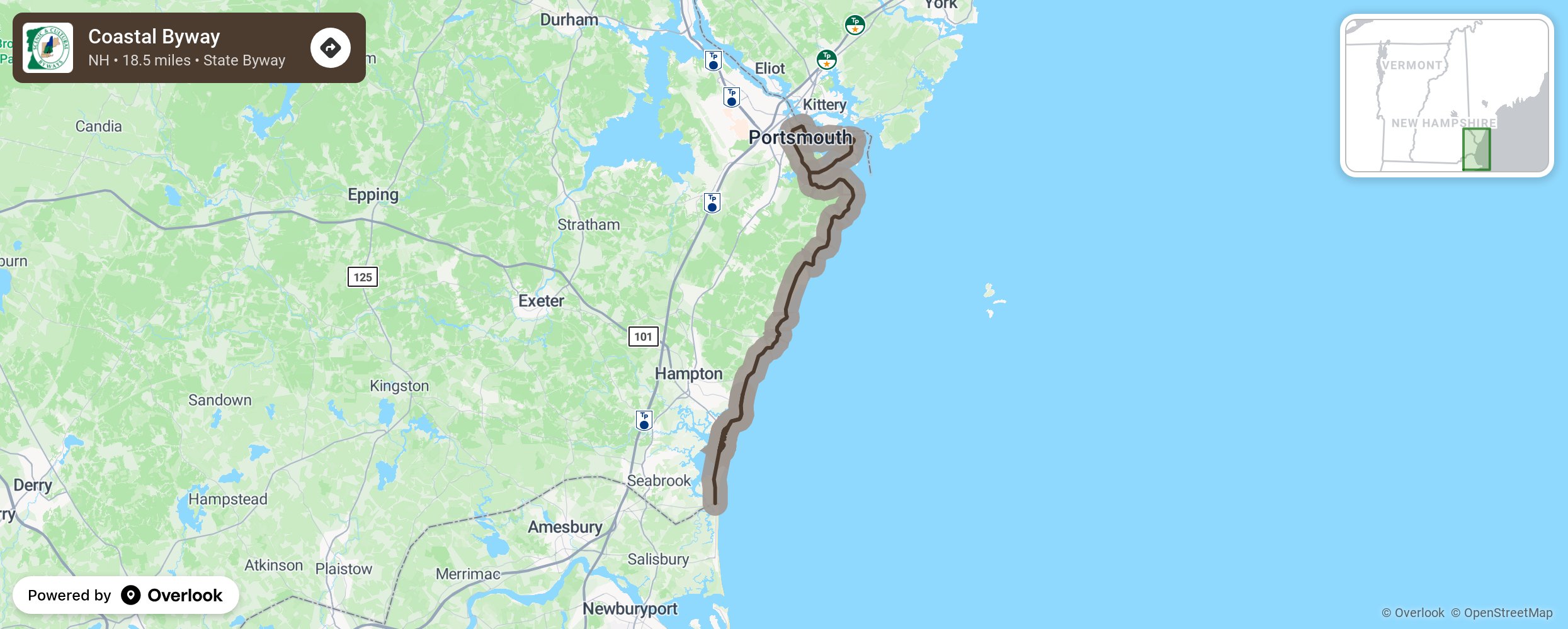
The New Hampshire Coastal Byway follows NH Routes 1A & 1B 22 miles from Seabrook to Ports[1]mouth. The Byway connects ten units of the State Park system as well as numerous local and pri[1]vate parks and recreational attractions. Historic structures along the route trace the history not only of the region but the country as a whole. The Byway overlooks the sandy beaches and rocky shores of the Gulf of Maine and the ecologically rich Hampton Seabrook Marsh. Last but not least, it carries U.S. Bicycle Route 1 and the East Coast Greenway through New Hampshire. (2nd Paragraph) The 18.5 mile Byway takes about an hour to drive if you don’t stop—but why wouldn’t you stop when there’s so much to take in? Stroll the boardwalk in Hampton Beach, enjoy the blooms of Fuller Gardens, take a deep sea fishing excursion from Rye Harbor, explore tidepools and old forts at Odiorne Point State Park, and top it off with a summertime concert at the Prescott Park Arts Festival and an unmatched range of dining options in downtown Portsmouth. More from National Scenic Byway Foundation →
Embed this map on your site
You are welcome to add this map to your own website for free, as long as you do so using the below code snippet in its entirety.
Please get in touch with us if you have any questions!
      <iframe src="https://overlookmaps.com/byways/nh-coastal-byway"></iframe>
    <a href="https://overlookmaps.com/">Map courtesy of Overlook Maps</a>