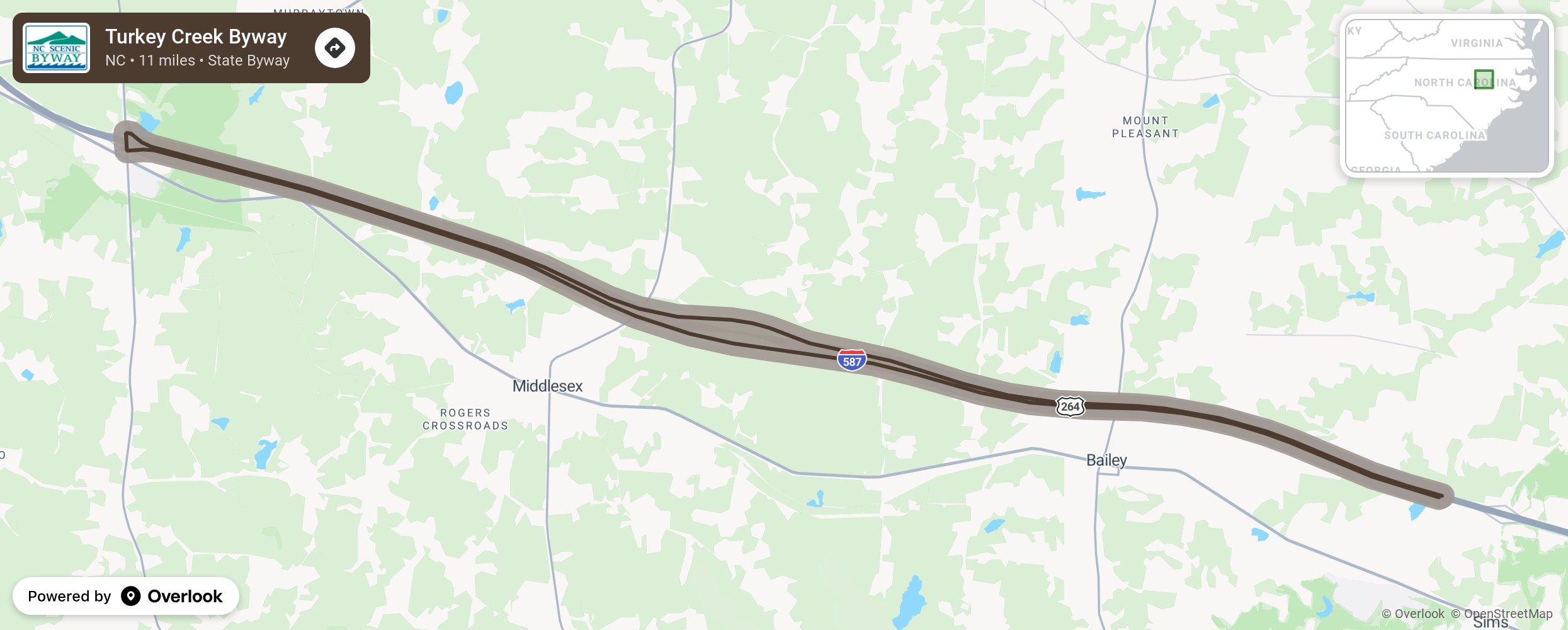
Turkey Creek Byway

This coastal plain route offers wide views of mixed pine and hardwood forests along the gently sweeping terrain of Nash County. Within the route, approximately 2,500 feet of relatively undisturbed Turkey Creek runs through the center of the wide median adding to the environmental importance of the corridor. Planning began for the alignment of US-264 in the early 1970's. At that time, just east of Middlesex, Turkey Creek flowed parallel to the future alignment for approx. 2,000 ft. The NCDOT Hydraulics Unit anticipated that a 2,000 ft channel change of Turkey Creek with a rip-rap stone liner would be needed. Both the Roadway Design and Hydraulics Units were concerned about such a massive channel change and brought this to the attention of the LandscapeRoadside Unit. After many meetings, it was decided that a bow would be put in the east bound lane to widen the median and allow Turkey Creek to flow in its natural channel for the 2,000 ft, virtually undisturbed except at the bridge crossings. More from National Scenic Byway Foundation →
Embed this map on your site
You are welcome to add this map to your own website for free, as long as you do so using the below code snippet in its entirety.
Please get in touch with us if you have any questions!
      <iframe src="https://overlookmaps.com/byways/nc-turkey-creek-byway"></iframe>
    <a href="https://overlookmaps.com/">Map courtesy of Overlook Maps</a>