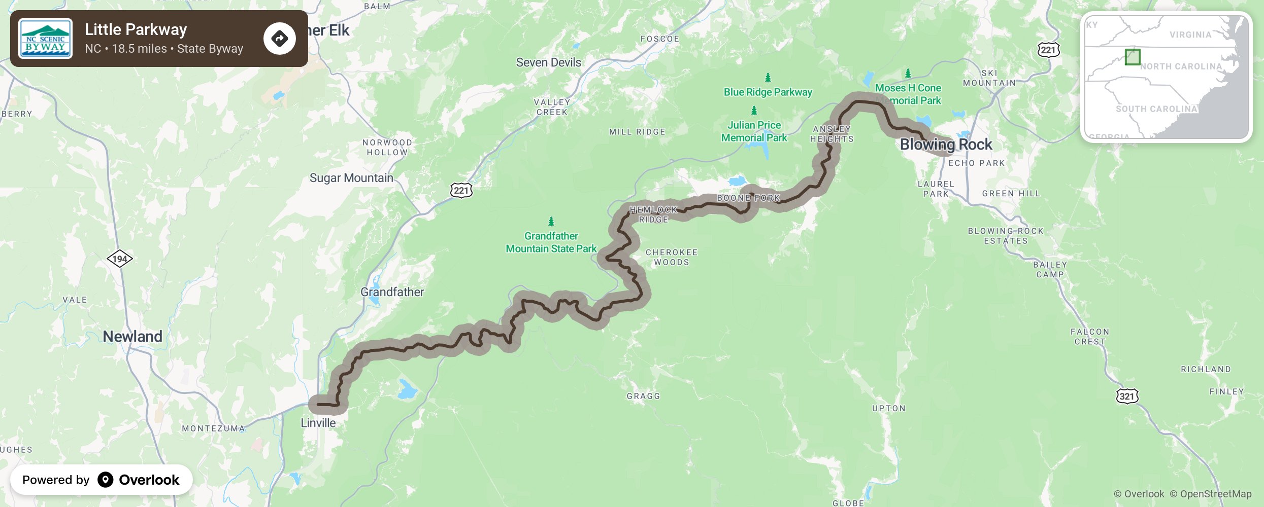
Little Parkway

Built in 1889 by men and mules as a toll road, Little Parkway, also known as Yonahlossee Trail (one of many privately-owned roads in the state), winds its way along the side of Grandfather Mountain and served as the link between Blowing Rock and Linville before the completion of the Blue Ridge Parkway in 1987. Linville, established in 1883 and designed by Samuel T. Kelsey of Kansas, is located on the Linville River. South of Linville are Linville Falls and Linville Gorge. All were named for William and John Linville who were killed below the falls by Native Americans in 1766. The upper and lower falls, accessed from the Blue Ridge Parkway, are 12 feet and 90 feet tall respectively. Linville Gorge is among the nation’s largest gorges and is located in one of the wildest uninhabited areas in the Eastern United States. While traveling from Linville to Blowing Rock, watch for signs marking the Eastern Continental Divide, an invisible line that separates the waters flowing to the Atlantic Ocean from those flowing to the Gulf of Mexico. More from National Scenic Byway Foundation →
Embed this map on your site
You are welcome to add this map to your own website for free, as long as you do so using the below code snippet in its entirety.
Please get in touch with us if you have any questions!
      <iframe src="https://overlookmaps.com/byways/nc-little-parkway"></iframe>
    <a href="https://overlookmaps.com/">Map courtesy of Overlook Maps</a>