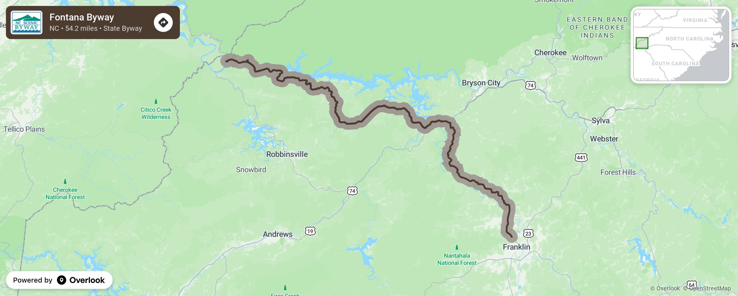
Fontana Byway

Fontana Byway weaves in and out around the base of the Great Smoky Mountains along Cheoah Lake which is part of the Little Tennessee River. Used for centuries by the Cherokee and their predecessors, in 1540, the Spanish explorer Hernando DeSoto was the first European to see the river, the first tributary of the Mississippi River. Although the byway is in a remote part of the state, there are many elements to discover along the route from the grand views of Fontana Lake and the engineering prowess of Fontana Dam to the pastoral rolling hills and farmland of the lower valleys. As you travel along the byway, watch for large pipes shooting up the sides of mountains around the Stecoah community. These surge pipes take water overflow up the mountain for storage when overflow gates are closed at the hydroelectric dams seen along the route. When water levels are low, water in the surge pipes is released and flows down the mountains to turn turbines in the dams’ generator houses. Along the 23-mile stretch, take advantage of the many overlooks with views of rural western North Carolina and the abundance of parking for roadside picnics. More from National Scenic Byway Foundation →
Embed this map on your site
You are welcome to add this map to your own website for free, as long as you do so using the below code snippet in its entirety.
Please get in touch with us if you have any questions!
      <iframe src="https://overlookmaps.com/byways/nc-fontana-byway"></iframe>
    <a href="https://overlookmaps.com/">Map courtesy of Overlook Maps</a>