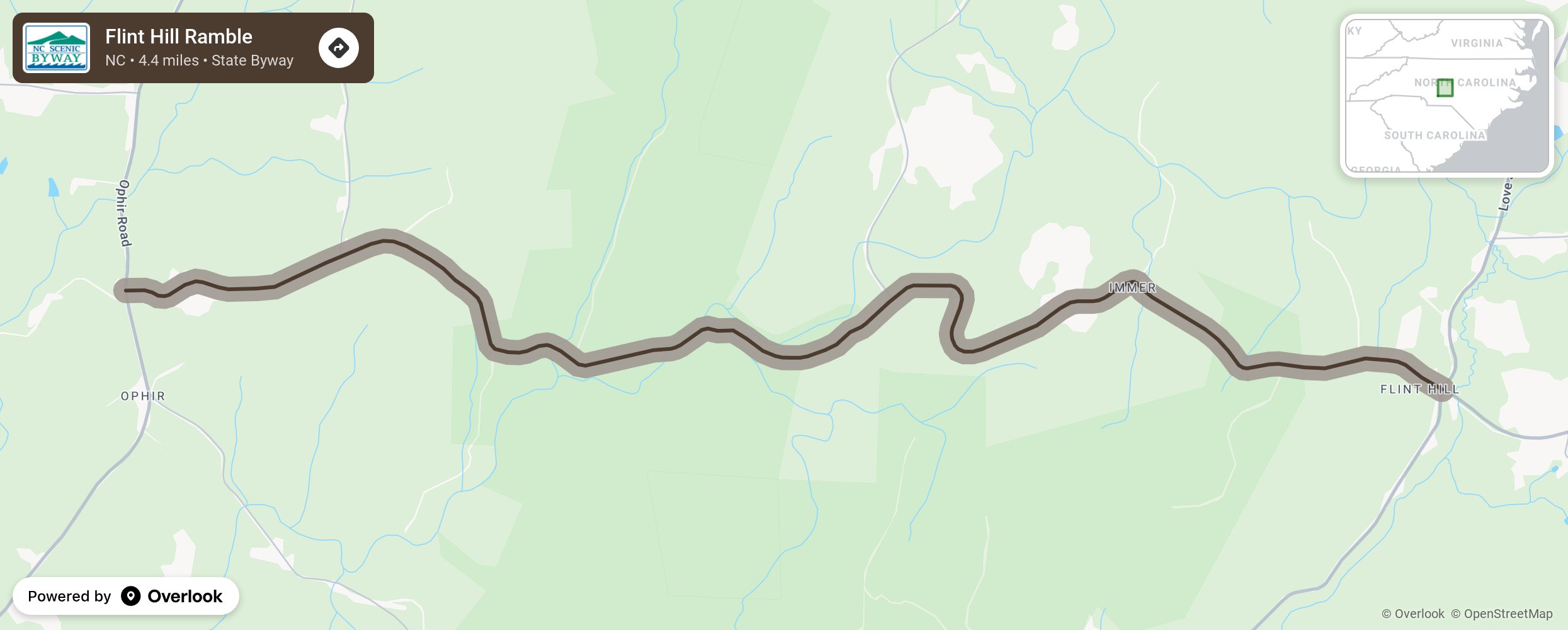
Flint Hill Ramble

The remote yet beautiful Flint Hill Ramble, an area that was settled in the mid-1800s during the area’s gold boom, traverses through the Uwharrie National Forest from the community of Ophir (named for the Biblical place where gold was produced for King Solomon’s temple) to Flint Hill. This road’s turns along with its scenic views give motorists the feeling that they are riding in the Great Smoky Mountains. On the route, travelers will need to keep a lookout for a shaded parking area and trailhead for the Uwharrie National Recreational Trail, which marks the northern end of the 20-mile trail. A short hike up the trail reveals a striking view of the surrounding Uwharrie Mountains, believed by experts to be one of the oldest mountain chains in North America. More from National Scenic Byway Foundation →
Embed this map on your site
You are welcome to add this map to your own website for free, as long as you do so using the below code snippet in its entirety.
Please get in touch with us if you have any questions!
      <iframe src="https://overlookmaps.com/byways/nc-flint-hill-ramble"></iframe>
    <a href="https://overlookmaps.com/">Map courtesy of Overlook Maps</a>