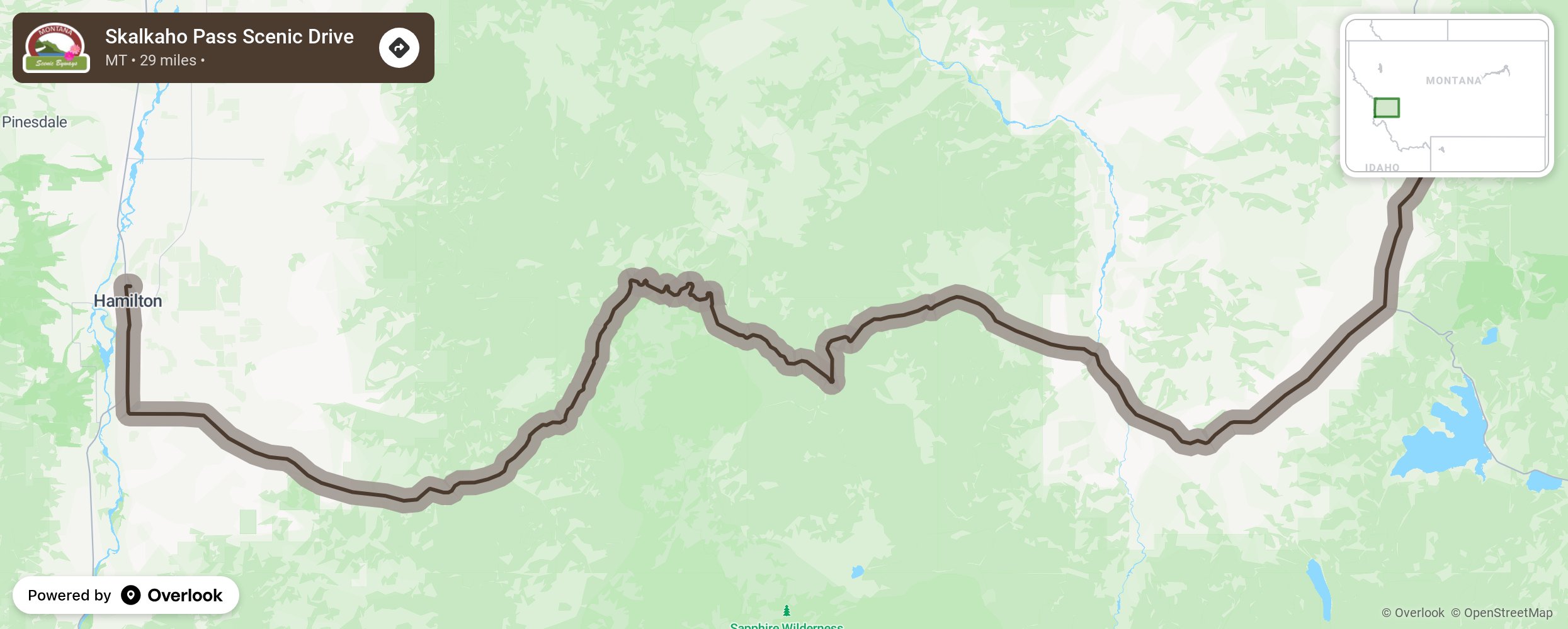
Skalkaho Pass Scenic Drive

This primitive seasonal road is 3 miles south of Hamilton. Call 511 for road conditions and closures before traveling on this section of Highway 38, as it links Hamilton to Phillipsburg. Trailers are not allowed on the road as there are narrow curves with limited pull-outs. In season, this drive into the Sapphire Mountains will take you on some of the state’s least travelled roads. Once used a trail for Native Americans, a road was bult over the route in 1924 linking mining areas in the mountains to the agricultural communities of the Bitterroot Valley. The route winds past Skalkaho Falls and two campgrounds. Skalkaho Pass is 7,260 feet above sea level and offers an isolated, mountainous wildlife area with opportunities to see Gray and Steller jays, dark-eyed juncos, Brewer’s sparrows, olive-sided Flycatchers, and Hairy woodpeckers as well as elk, mountain goats, mule deer, badgers, black bear, coyotes, and moose. Mountain biking is also a good way to view the wildlife. The area is closed to hunting. In the winter, only 10 miles of Highway 38 is plowed making the area a haven for snowmobiling. More from National Scenic Byway Foundation →
Embed this map on your site
You are welcome to add this map to your own website for free, as long as you do so using the below code snippet in its entirety.
Please get in touch with us if you have any questions!
      <iframe src="https://overlookmaps.com/byways/mt-skalkaho-pass-scenic-drive"></iframe>
    <a href="https://overlookmaps.com/">Map courtesy of Overlook Maps</a>