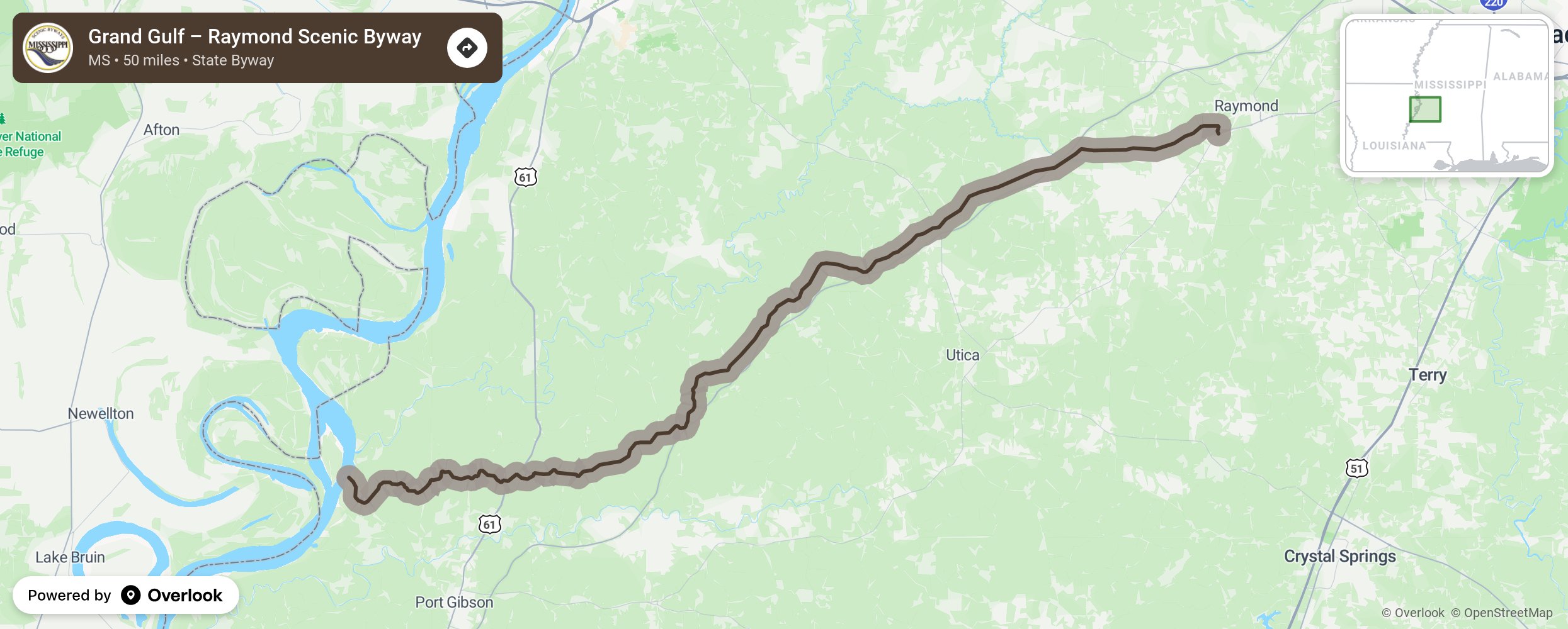
Grand Gulf – Raymond Scenic Byway

The Grand Gulf-Raymond Scenic Byway meanders ten miles through the loess bluffs bordering the Mississippi River in this area, venturing through the deep, fern-decorated cuts of the historic road. Along the way the ancient road winds and ducks under the canopy of live oaks and bald cypresses which are hauntingly festooned with Spanish moss. After leaving the loess bluffs the road continues to write its way eastward, following the high ground for another forty miles to Raymond. Along the way the route is often traversed by deer and flocks of wild turkey. It’s almost as if the wildlife wishes to oblige those who take the time to experience the journey. The old dirt road is now paved, but it still retains much of its Civil War appearance. Today it is a quiet, relaxing drive, but in 1863 a journalist who accompanied Grant’s army described the road as a “well-traveled thoroughfare.” More from National Scenic Byway Foundation →
Embed this map on your site
You are welcome to add this map to your own website for free, as long as you do so using the below code snippet in its entirety.
Please get in touch with us if you have any questions!
      <iframe src="https://overlookmaps.com/byways/ms-grand-gulf-raymond-scenic-byway"></iframe>
    <a href="https://overlookmaps.com/">Map courtesy of Overlook Maps</a>