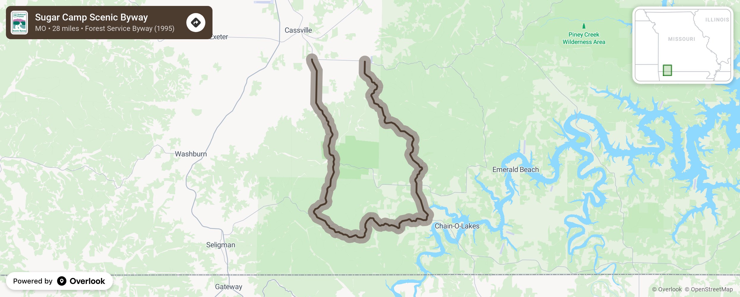
This byway combines 20 miles of paved highway with 9 miles of maintained gravel road as it travels through wooded hills and valleys with a mixture of hardwoods and pine trees. Stop at marked vistas to view distant landscapes. Stop to rest and picnic at Onyx and Sugar Camp Tower or head to Roaring River State Park and Table Rock Lake for water activity opportunities.
More from National Scenic Byway Foundation →
Embed this map on your site
You are welcome to add this map to your own website for free, as long as you do so using the below code snippet in its entirety.