Bloomfield Stars and Stripes Historical/Cultural Byway
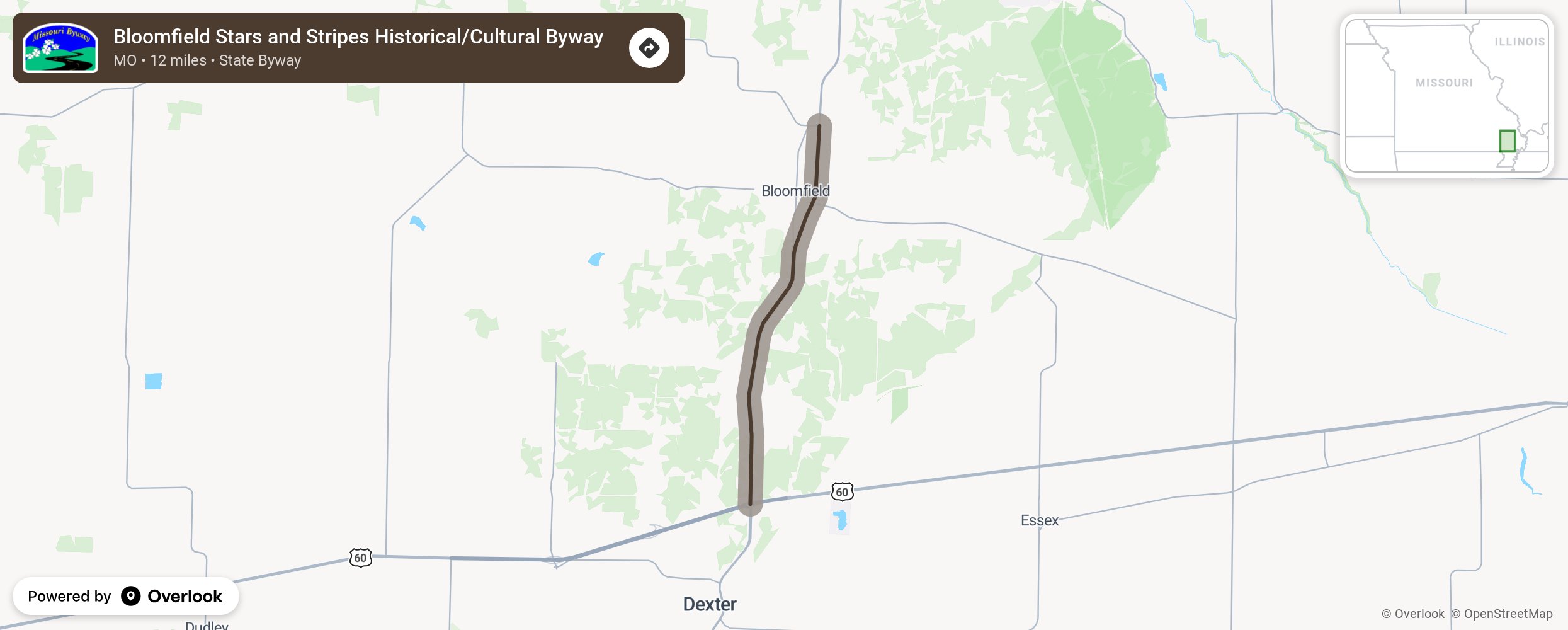
This byway runs 5.5 miles from the northern limits of Bloomfield southward to the Stars and Stripes Museum and Veteran’s Cemetery. The area is rich in Civil War history including the Stoddard County Archives, a Civil War era cemetery, the Stars and Stripes Museum, and the Missouri Veterans’ Cemetery. Also visit the Miller House for interpretation of artifacts and early life in Missouri.
More from National Scenic Byway Foundation →
Embed this map on your site
You are welcome to add this map to your own website for free, as long as you do so using the below code snippet in its entirety.