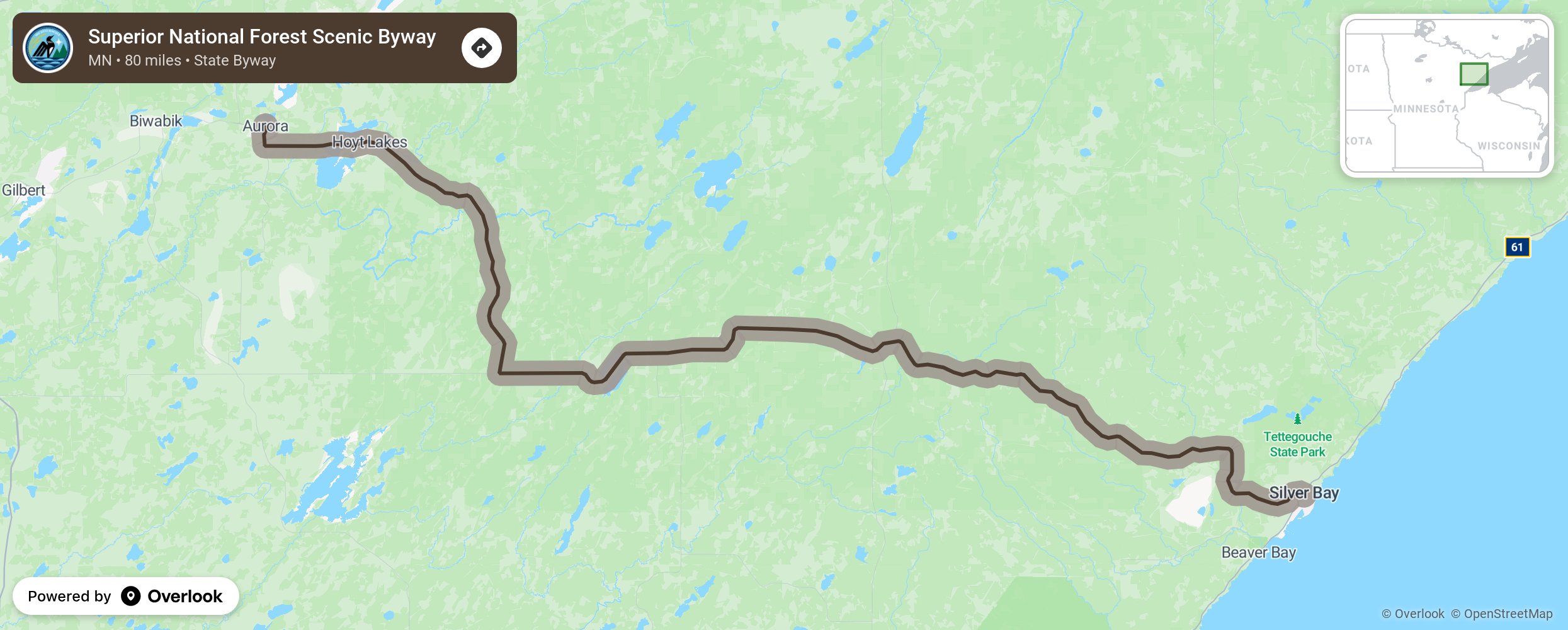
Superior National Forest Scenic Byway

The Superior National Forest byway travels on a soothing wooded route from the North Shore to the Communities of the Iron Range. There are no towns on this byway so immerse yourself with the natural beauty of pines and hardwoods that change to vibrant reds and yellows in the fall. Look for the area’s many species of birds. Stop at the Laurentian Divide at the Skjbo Vista Scenic Overlook to see migrating hawks. Allow time to see the 1913 Toimi School, Timber Arch Bridge, White Pine Interpretative Trail, and the Bird Lake Recreational Area. Bring your boat and fishing poles to enjoy the boat landing and fishing dock at the Cadotte Lake Recreational Area. More from National Scenic Byway Foundation →
Embed this map on your site
You are welcome to add this map to your own website for free, as long as you do so using the below code snippet in its entirety.
Please get in touch with us if you have any questions!
      <iframe src="https://overlookmaps.com/byways/mn-superior-national-forest-scenic-byway"></iframe>
    <a href="https://overlookmaps.com/">Map courtesy of Overlook Maps</a>