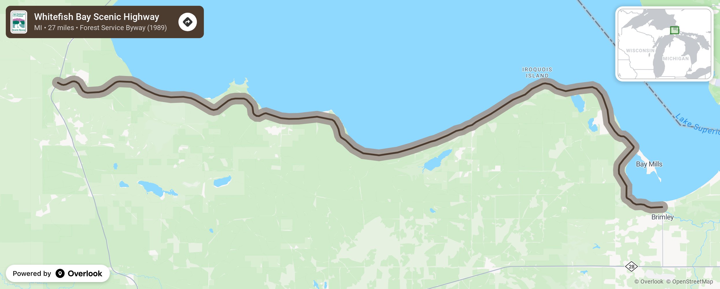
Whitefish Bay Scenic Highway

The Whitefish Bay National Forest Scenic Byway was first developed as an earth road by the 1930s. It was improved into a gravel road in the 1940s and paved in the 1950s and 1960s. It runs along Whitefish Bay in the Hiawatha National Forest and mostly follows Federal Forest Highway 42 through Chippewa County in the Upper Peninsula and along Lake Superior shore just west of Sault St Marie. This route is beautiful at any time of the year with picturesque views of hardwoods, conifers, and wetlands. Visit in winter too! Whether you are a beginner or an expert, there are ski trails for skiing and snowshoeing. More from National Scenic Byway Foundation →
Embed this map on your site
You are welcome to add this map to your own website for free, as long as you do so using the below code snippet in its entirety.
Please get in touch with us if you have any questions!
      <iframe src="https://overlookmaps.com/byways/mi-whitefish-bay-scenic-byway"></iframe>
    <a href="https://overlookmaps.com/">Map courtesy of Overlook Maps</a>