Copper Country Trail National Scenic Byway

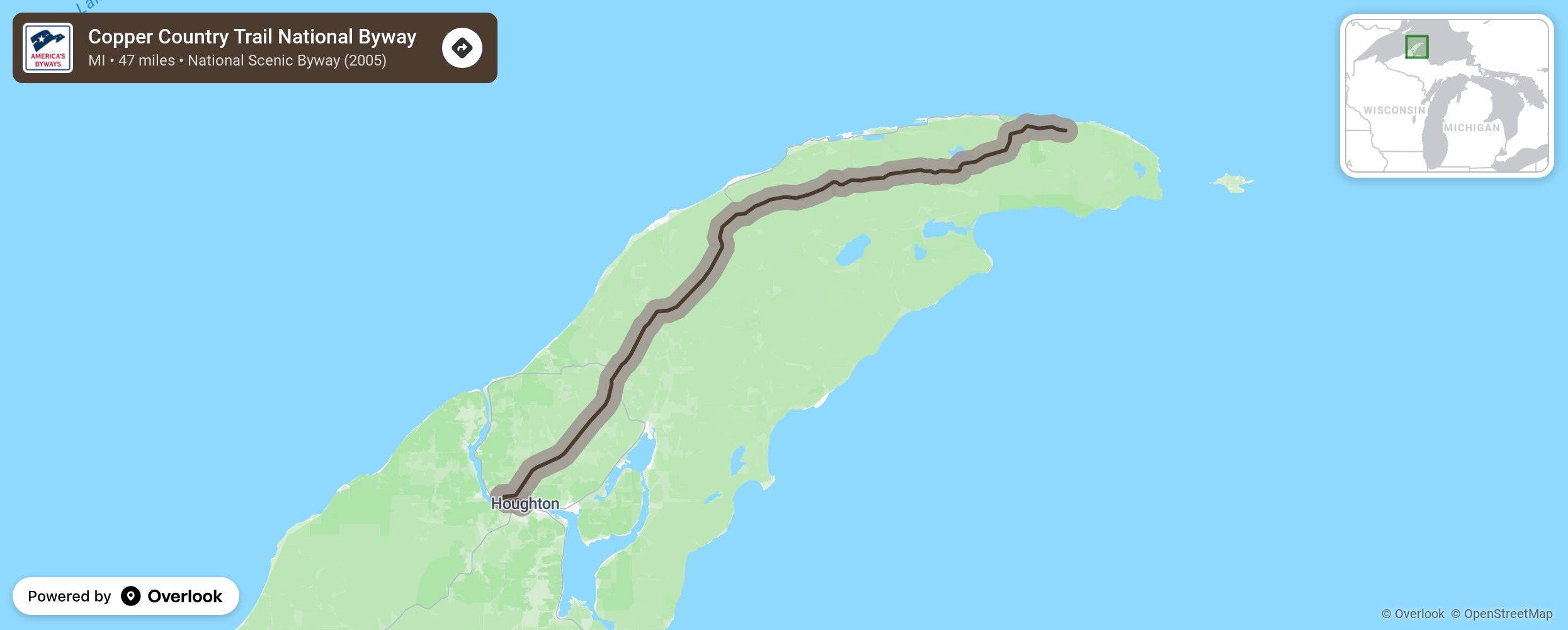
Traversing the Keweenaw Peninsula in Michigan's Upper Peninsula, the Copper Country Trail National Scenic Byway is the 47-mile stretch of U.S. 41 from the Portage Lake Lift Bridge, which connects the cities of Houghton and Hancock, to Copper Harbor It not only provides a road from one historic site to another, from forest to shore, but the route follows the underground copper that made the area famous. The byway corridor, which encompasses the entire Keweenaw Peninsula, preserves this rich copper mining heritage, as well as promoting the four-season outdoor recreational opportunities of the area. More from National Scenic Byway Foundation →
Embed this map on your site
You are welcome to add this map to your own website for free, as long as you do so using the below code snippet in its entirety.
Please get in touch with us if you have any questions!
      <iframe src="https://overlookmaps.com/byways/mi-copper-country-trail"></iframe>
    <a href="https://overlookmaps.com/">Map courtesy of Overlook Maps</a>