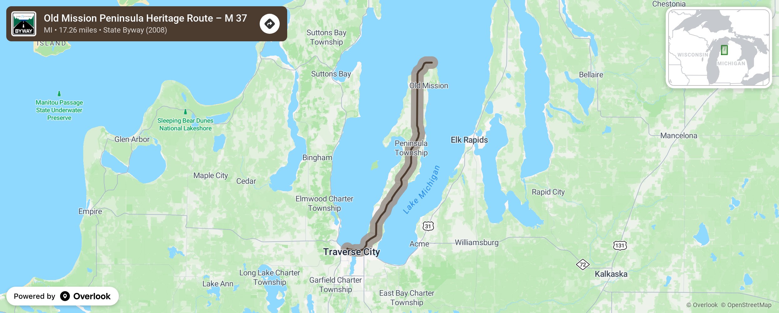
Old Mission Peninsula Heritage Route – M 37

Traversing the full length of Old Mission Peninsula from Traverse City north, the route runs along rolling farmlands and the deep blue Grand Traverse Bay before ending at the 1870 Mission Lighthouse and park. Along the way, bluffs rise dramatically from the Lake Michigan shore to over 200 feet in some parts, offering breathtaking views of East and West Grand Traverse Bay amid the pastoral farmscapes of fruit trees and grapevines. More from National Scenic Byway Foundation →
Embed this map on your site
You are welcome to add this map to your own website for free, as long as you do so using the below code snippet in its entirety.
Please get in touch with us if you have any questions!
      <iframe src="https://overlookmaps.com/byways/mi-old-mission-peninsula-heritage-route-m-37"></iframe>
    <a href="https://overlookmaps.com/">Map courtesy of Overlook Maps</a>