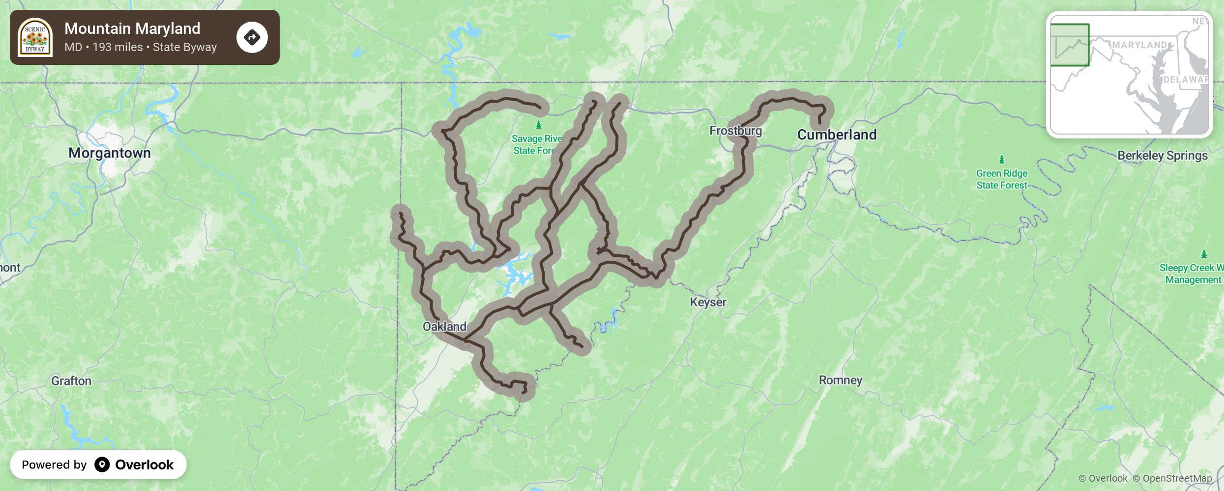
Mountain Maryland

Experience the wild side of Maryland with views of rugged mountains and rushing river waters traveling from Keyser’s Ridge to Cumberland. Stop at the Deep Creek Lake State Park near Swanton for sightings of black bear and wild turkeys and enjoy the Deep Creek Discovery Nature Center with its aviary, mounted specimens, and children’s interactive room. Bring your hiking gear for the Swallow Falls State Park near Oakland and enjoy the many waterfalls surrounded by tall hemlocks and old-growth forest. Bring your camping supplies and stay at a log cabin in Herrington Manor State Park or raft down the Youghiogheny Wild and Scenic River. There are many opportunities for hiking, skiing, fishing, and boating at every turn. Allow time for the antique and boutique shopping, Victorian architecture, and the historic train depot in Oakland. A side trip to the Garrett State Forest along the Potomac includes wildlife, world-class trout fishing, and hiking to Maryland’s tallest point- Back one Mountain at 3,360 feet. More from National Scenic Byway Foundation →
Embed this map on your site
You are welcome to add this map to your own website for free, as long as you do so using the below code snippet in its entirety.
Please get in touch with us if you have any questions!
      <iframe src="https://overlookmaps.com/byways/md-mountain-maryland-byway"></iframe>
    <a href="https://overlookmaps.com/">Map courtesy of Overlook Maps</a>