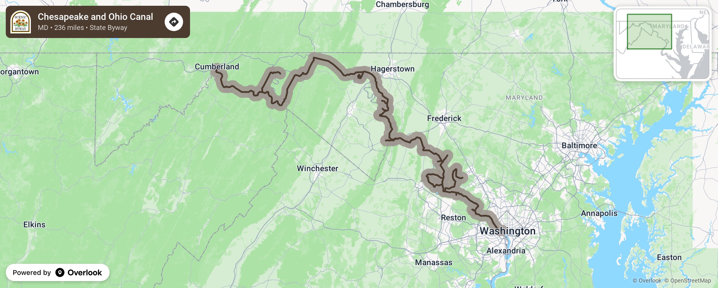
Chesapeake and Ohio Canal

The Chesapeake and Ohio Canal (C&O) was a marvel of 19th century engineering and nicknamed the “Grand Old Ditch.” Opportunities to experience the canal include hiking, birdwatching, and taking old fashioned mule-drawn barge rides. Stop at the C&O Canal National Historical Park and marvel at the 74 lift locks and 184.5-mile-long towpath. Recreational activities include camping, picnicking, whitewater adventures and rock climbing at the Carderock Recreation Area. Learn the area’s history at visitor centers, Points of Rocks Train Station near Poolesville, and just outside Washington, D.C. at Glen Echo Park and the Clara Barton National Historic Site. Enjoy the wineries, breweries, and bed and breakfasts the area has to offer. This byway travels from Washington, D.C. to Cumberland in a northwesterly, uphill route. Bicyclists will want to start in Cumberland and head southeasterly as it is all downhill! More from National Scenic Byway Foundation →
Embed this map on your site
You are welcome to add this map to your own website for free, as long as you do so using the below code snippet in its entirety.
Please get in touch with us if you have any questions!
      <iframe src="https://overlookmaps.com/byways/md-chesapeake-and-ohio-canal-byway"></iframe>
    <a href="https://overlookmaps.com/">Map courtesy of Overlook Maps</a>