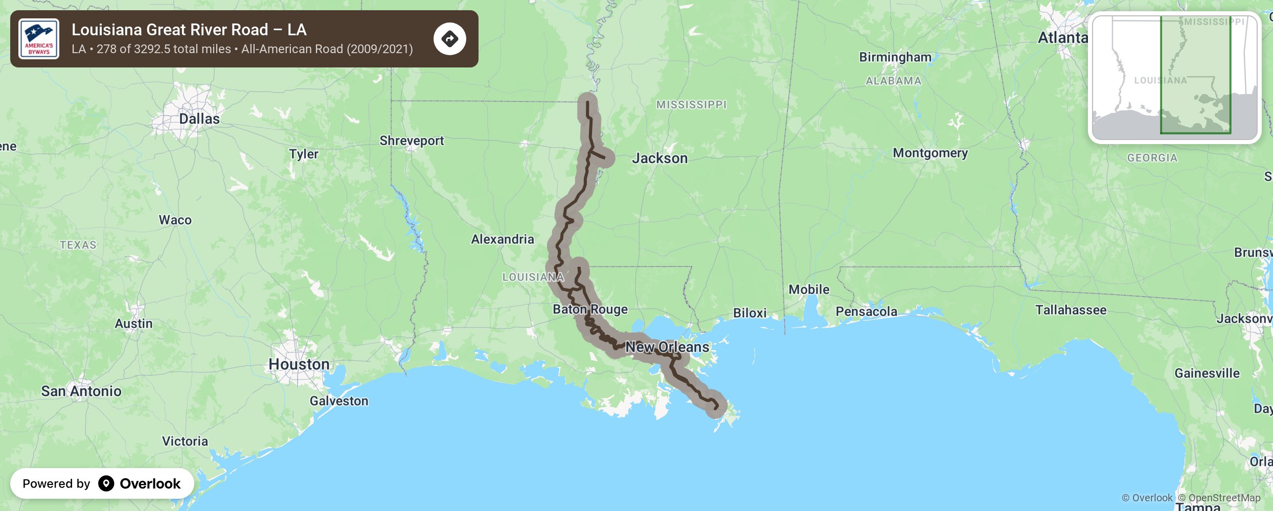
Louisiana Great River Road – LA

The Great River Road follows the Mississippi River from Lake Itasca in Minnesota to the Gulf of Mexico. The Mississippi River, the second longest river in America, begins as a trickle at Lake Itasca headwaters and grows and strength as it travels south to create state lines for 10 states. The byway lines both sides of the river in Arkansas, Iowa, Illinois, Kentucky, Louisiana, Minnesota, Mississippi, Missouri, Tennessee, and Wisconsin. The river was important for settlement of the western United States as goods were shipped north. Logs, from northern forests, were shipped downstream to be cut into lumber for new settlements. The Mississippi River is teeming with history and culture as riverboats moved people up and down the river and gave travelers the opportunity to enjoy its music, like the blues in Tennessee, or the Cajun and Creole culture from New Orleans’ French Quarter, and Louisiana’s cooking, jazz, and blues. The Mississippi offers a variety of recreational opportunities. Limestone cliffs line the river allowing for overlooks to see Mississippi’s splendid panoramas, or to enjoy the wildlife that calls the Mississippi River home, or to watch boats and barges as they navigate the Lock and Dam systems. Waterfalls, forests, prairies, and communities of every size dot the Great River Road. Be sure to allow time to enjoy its parks, beaches, museums, music, and food More from National Scenic Byway Foundation →
Embed this map on your site
You are welcome to add this map to your own website for free, as long as you do so using the below code snippet in its entirety.
Please get in touch with us if you have any questions!
      <iframe src="https://overlookmaps.com/byways/la-louisiana-river-road"></iframe>
    <a href="https://overlookmaps.com/">Map courtesy of Overlook Maps</a>