Smoky Valley Scenic Byway

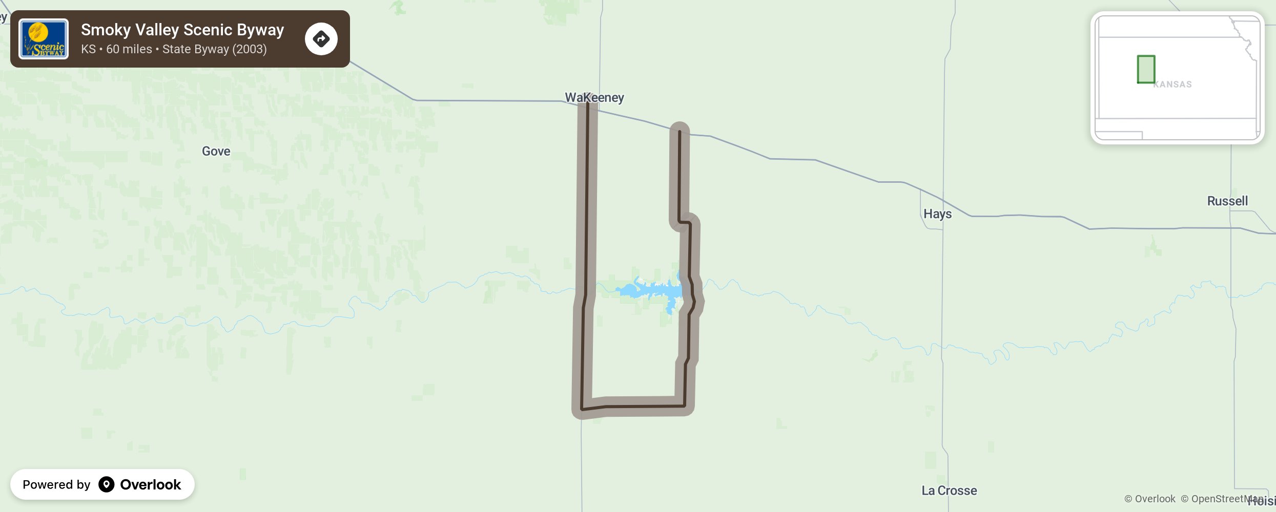
The Smoky Hills are named for their hazy, blue appearance st sunrise and sunset. These hills divide the easterly mixed-grass prairie from the shortgrass prairie of the Western Great Plains. The Byway travels through native grasses and vibrant year-round wildflowers of coneflowers, Indian Blanket, pitcher sage, yucca mixed with big and little bluestem and grama grasses. Croplands also add to the color mix with the lush green winter wheat plants that ripen to a russet color in autumn. Chalky limestone rock outcroppings give hints to the underlying foundation. This trail was used during the Civil War’s end to carry goods and travelers, including gold diggers from Fort Leavenworth to Denver. It was the shortest route, but often dangerous and often required the protection of troops at Fort Hays. Carvings and markings, some 200 years old, can be seen where the early travelers carved their names on the wall of Threshing Machine Canyon near Cedar Bluff State Park. More from National Scenic Byway Foundation →
Embed this map on your site
You are welcome to add this map to your own website for free, as long as you do so using the below code snippet in its entirety.
Please get in touch with us if you have any questions!
      <iframe src="https://overlookmaps.com/byways/ks-smoky-valley-scenic-byway"></iframe>
    <a href="https://overlookmaps.com/">Map courtesy of Overlook Maps</a>