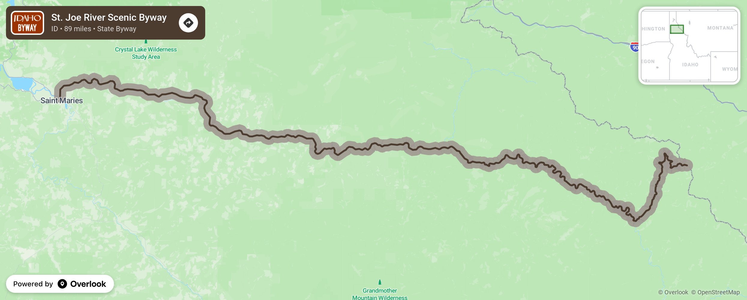
St. Joe River Scenic Byway

Traveling along the St. Joe River, you will find towering cottonwoods and mountain landscapes home to deer, elk, moose, and bear. This is a two-lane paved road with numerous pullouts and points of interest. Stop at Falls Creek Falls, the Idaho Panhandle National Forest and the St. Joe Wild and Scenic River. Recreational opportunities vary from fishing, camping, hiking, and biking to canoeing and backpacking. The byway travels from St. Maries, taking Forest Service roads to Highway 50. and then to the Idaho-Montana border. Note: The Avery to Montana section is closed in the winter and used as a snowmobile route. More from National Scenic Byway Foundation →
Embed this map on your site
You are welcome to add this map to your own website for free, as long as you do so using the below code snippet in its entirety.
Please get in touch with us if you have any questions!
      <iframe src="https://overlookmaps.com/byways/id-st-joe-river-scenic-byway"></iframe>
    <a href="https://overlookmaps.com/">Map courtesy of Overlook Maps</a>