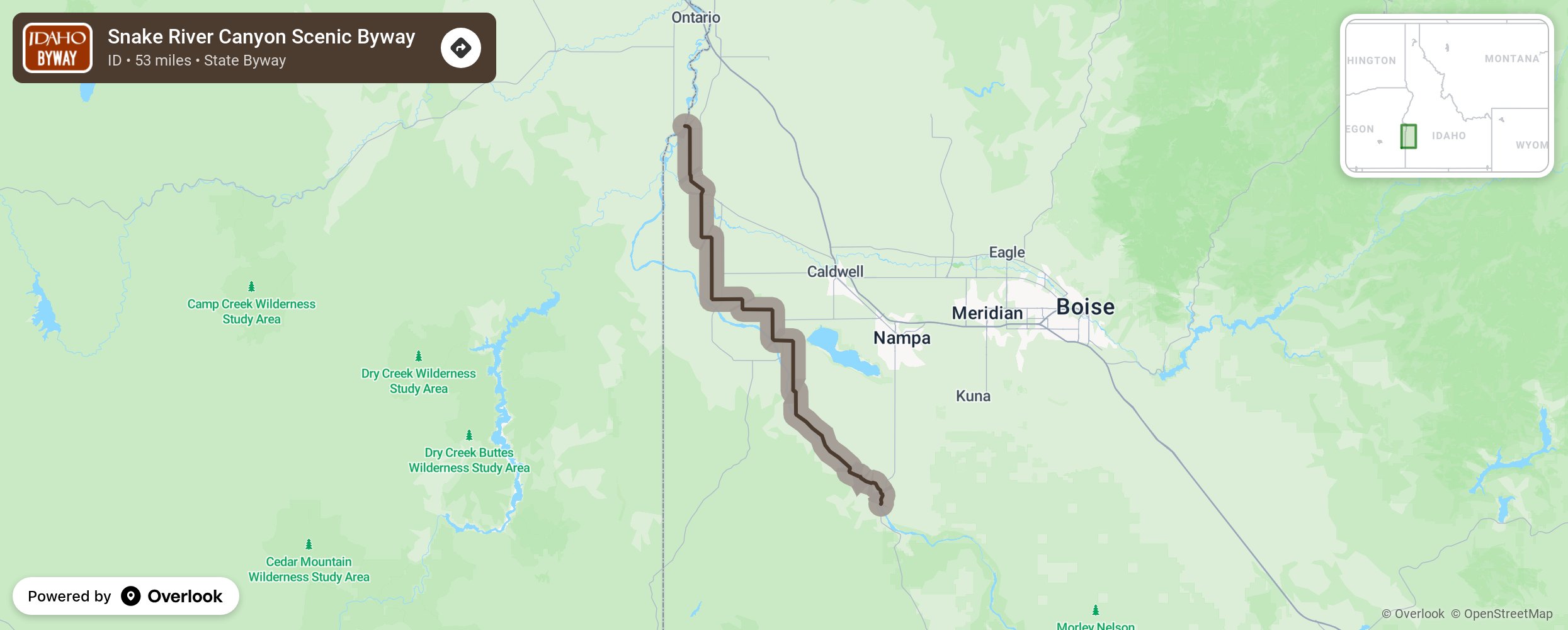
Snake River Canyon Scenic Byway

Winding through rich agricultural land in southwestern Idaho this byway takes you to local orchards, wineries, and historical sites. Save time for the Indian Creek Plaza in Caldwell to enjoy local foods and wines and enjoy the splash pad in the summer or the ice ribbon in the winter. Stop at Old Fort Boise and Map Rock, Idaho’s only archaeological park. Begin the byway on Idaho 45 at Walters Ferry, then make a series of turns onto Map Rock Road, Chicken Dinner Road, Lowell Road, Plum Road, Homedale Road, Allendale Road, Ustick Road, Fargo Road, Dixie Road, Wamstad Road, Apple Valley Road, and then to the intersection with US 20/26 to continue onto the Nessa, Oregon bridge. Note that canyon overlooks may be closed in the winter. More from National Scenic Byway Foundation →
Embed this map on your site
You are welcome to add this map to your own website for free, as long as you do so using the below code snippet in its entirety.
Please get in touch with us if you have any questions!
      <iframe src="https://overlookmaps.com/byways/id-snake-river-canyon-scenic-byway"></iframe>
    <a href="https://overlookmaps.com/">Map courtesy of Overlook Maps</a>