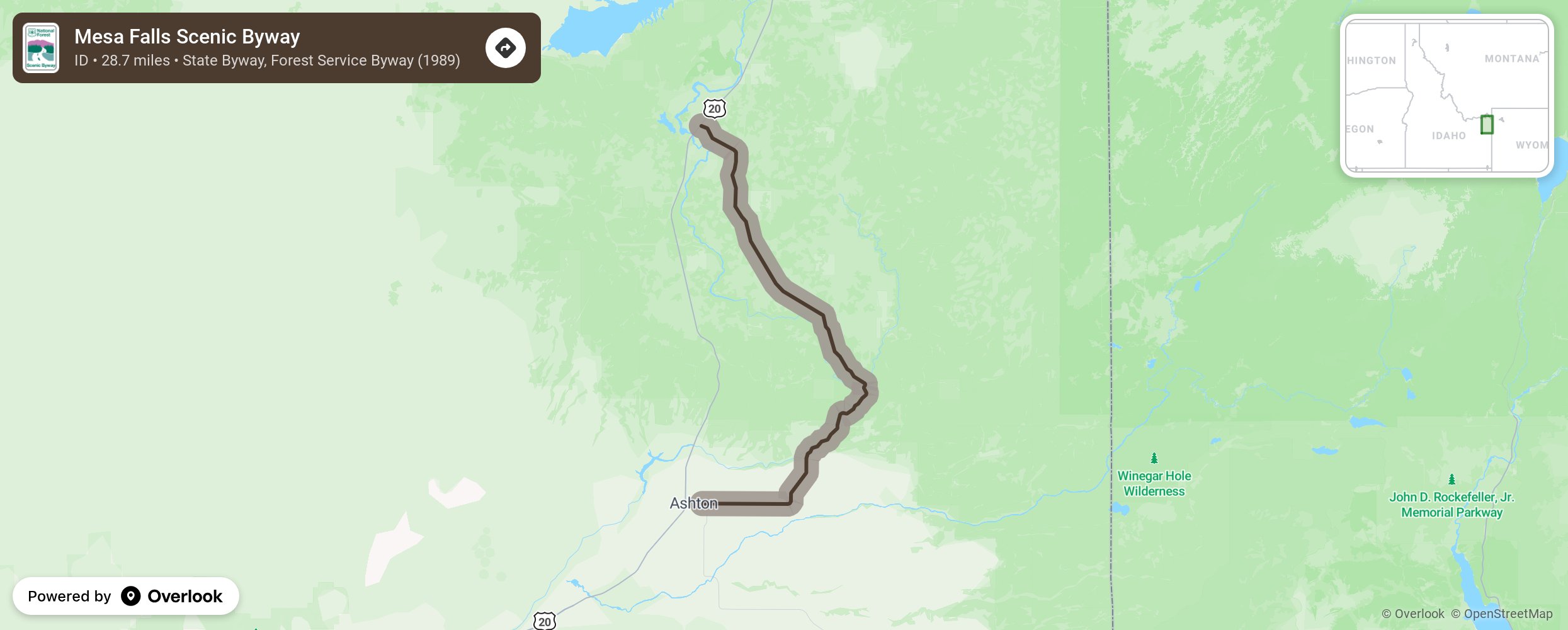
Mesa Falls Scenic Byway

This looped byway travels northeast from Ashton and through the Targhee National Forest to US Highway 20. The area is known for two spectacular falls- the Lower and Upper Mesa Falls. Stop at the Big Falls interpretive center at the Upper Falls to learn about the history and geology of the area. Camp at the Warm River campground and make time to visit Harriman State Park. In the winter, part of the byway (Forest Service Road 294) is closed to auto traffic and is converted into a snowmobile route. More from National Scenic Byway Foundation →
Embed this map on your site
You are welcome to add this map to your own website for free, as long as you do so using the below code snippet in its entirety.
Please get in touch with us if you have any questions!
      <iframe src="https://overlookmaps.com/byways/id-mesa-falls-scenic-byway"></iframe>
    <a href="https://overlookmaps.com/">Map courtesy of Overlook Maps</a>