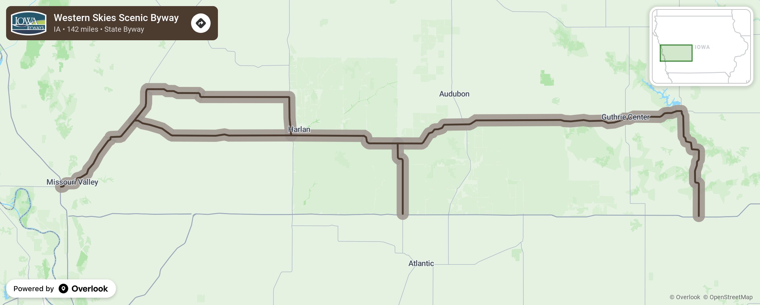
Western Skies Scenic Byway

Venture off the beaten path and experience the cultural communities that define Iowa. The 142-mile Western Skies Scenic Byway parallels Interstate 80 and joins Interstate 29, making it easy to discover all that western Iowa has to offer. Begin your journey at the Harrison County Historical Village and Welcome Center near Missouri Valley. Past and present meet in the largest rural Danish settlement in the country, located in the Danish villages of Elk Horn and Kimballtown. Elk Horn is home to the only working Danish windmill in America. Finding inspiration in their Danish brethren, the area has begun to rely on sustainable sources of energy such as wind turbines. German heritage is on display in the towns of Westphalia and Panama. Discover architecturally stunning churches built with great care and craftsmanship by the towns’ founders. Native prairies, parks and an abundance of trails will entice you outdoors. Whiterock Conservancy is a 5,500-acre non-profit land trust that balances sustainable agriculture, conservation and public recreation, and provides Iowa’s darkest sky for stargazing. Whether you’re looking for a change of scenery or just a change of pace, Western Skies Scenic Byway offers both, all while showcasing Iowa’s cultural heritage. More from National Scenic Byway Foundation →
Embed this map on your site
You are welcome to add this map to your own website for free, as long as you do so using the below code snippet in its entirety.
Please get in touch with us if you have any questions!
      <iframe src="https://overlookmaps.com/byways/ia-western-skies-scenic-byway"></iframe>
    <a href="https://overlookmaps.com/">Map courtesy of Overlook Maps</a>