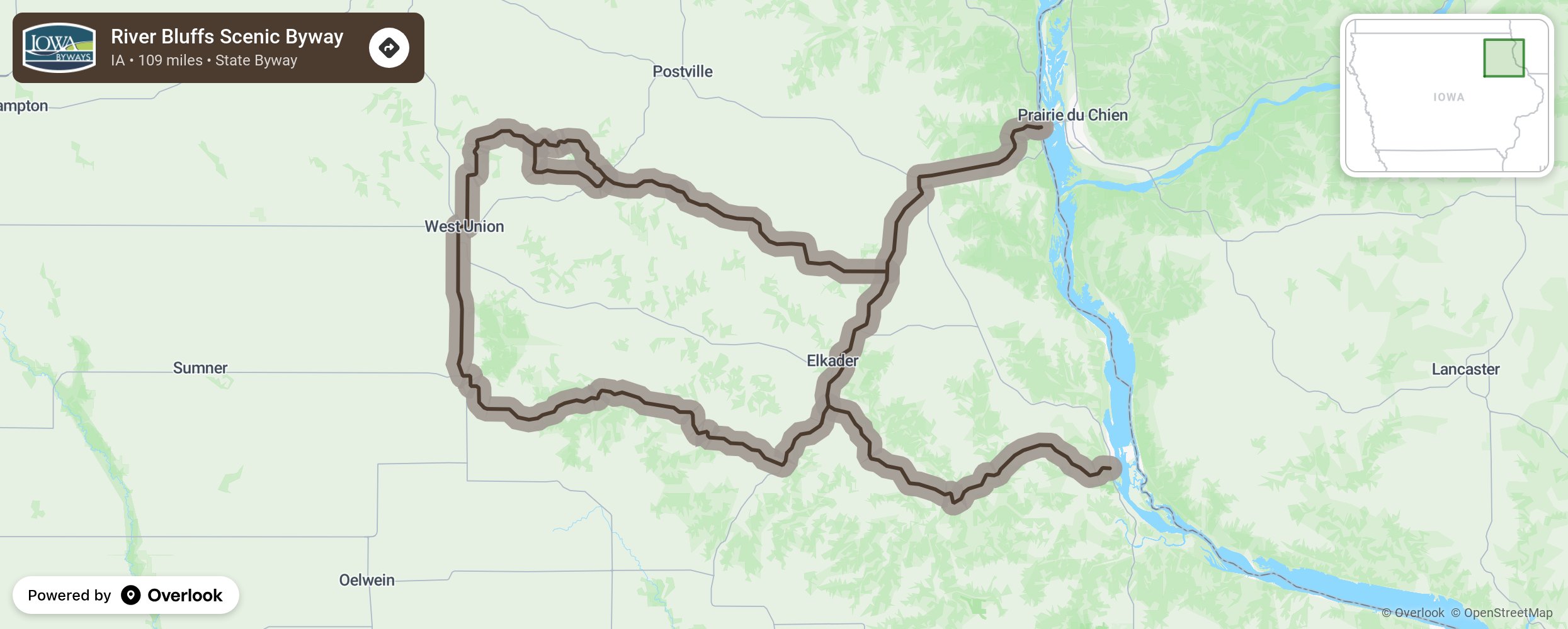
River Bluffs Scenic Byway

The views along River Bluffs Scenic Byway are among the state’s finest. The byway criss-crosses three rivers, providing distant views of river valleys, and culminating with a mesmerizing three-state view of the Mississippi River from Pikes Peak State Park near McGregor. However, stops along this 109-mile byway will prove that it is more than just a pretty road. The Turkey, Volga and Mississippi rivers converge here, making it a paradise for outdoor enthusiasts. The region is dotted with parks, caves, nature centers, fishing hotspots, campgrounds, trails, and water access points through the Turkey River Recreational Corridor. You’ll pass through thirteen towns known collectively as “Iowa’s Little Switzerland.” Three of these burgs are situated on the Mississippi River, giving McGregor, Marquette and Guttenberg a distinct character that only small river towns have. Your journey won’t be complete without visiting some of the many historic sites along the route, such as Motor Mill Historic Site or Montauk, home of Iowa’s 12th governor, William Larrabee. The first successful gasoline tractor was built at Froelich’s 1890s Village. Travel River Bluffs and discover a road of majestic features, outdoor exploration and small town charm. More from National Scenic Byway Foundation →
Embed this map on your site
You are welcome to add this map to your own website for free, as long as you do so using the below code snippet in its entirety.
Please get in touch with us if you have any questions!
      <iframe src="https://overlookmaps.com/byways/ia-river-bluffs-scenic-byway"></iframe>
    <a href="https://overlookmaps.com/">Map courtesy of Overlook Maps</a>