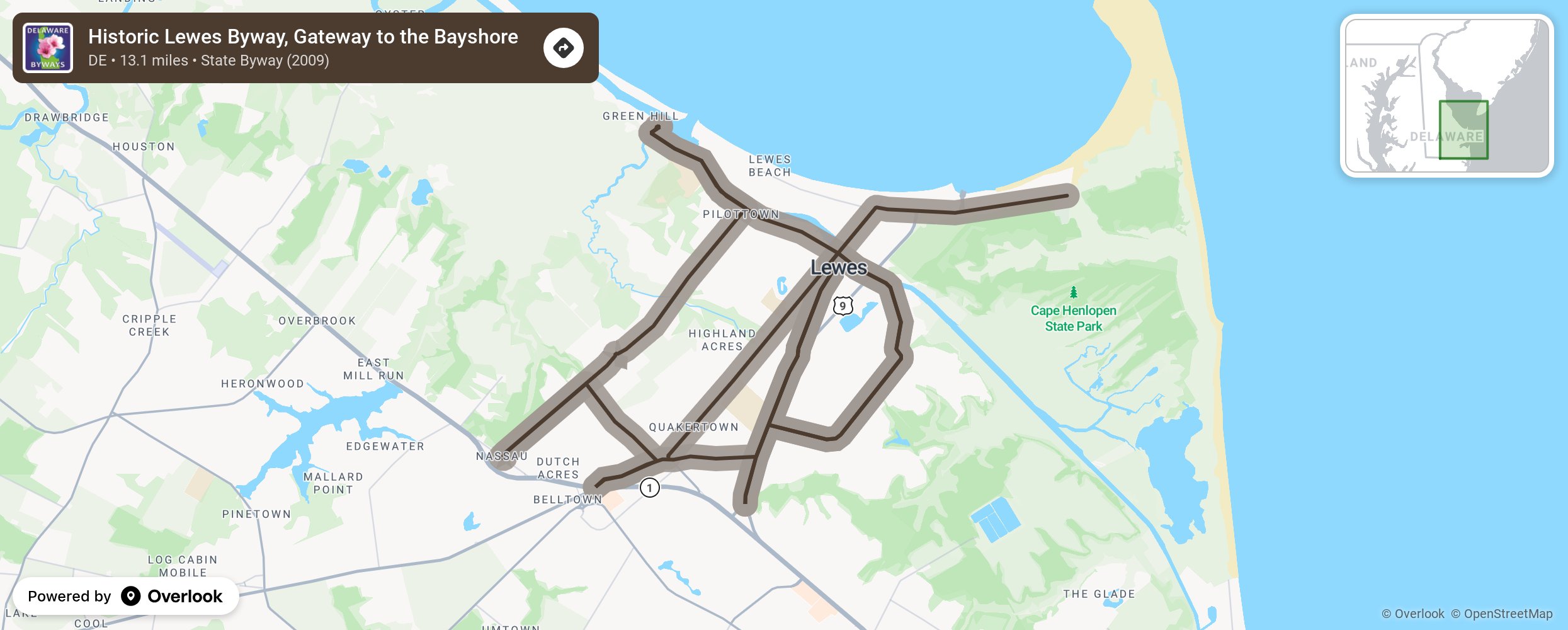
Historic Lewes Byway, Gateway to the Bayshore

The Historic Lewes Byway is a continuous road network that, taken as a whole, captures the modern history of the greater Lewes area. The individual segments of the route include New Road, Pilottown Road/Front Street, Savannah Road, Kings Highway, Gills Neck Road and Cape Henlopen Drive. Both physically and historically, these segments have played a vital role in the town’s development and reflect its evolution since 1631.The good harbor and light houses made it a major shipping channel, for rescuing passengers and crews of foundering ships, and for defending the Delaware Bay and adjacent communities. The byway captures the remarkable history as the First Town, established in 1631, in the First State of the United States. Enjoy the museums, quaint shops, restaurants, and year-round activities. A must-see is the Great Dune that rises 80 feet above sea level and is famous for “walking” slowly across the pine forest in the Cape Henlopen State Park. The area is home wildlife and is a stopover for hundreds of thousands of migratory birds on the Atlantic Flyway. More from National Scenic Byway Foundation →
Embed this map on your site
You are welcome to add this map to your own website for free, as long as you do so using the below code snippet in its entirety.
Please get in touch with us if you have any questions!
      <iframe src="https://overlookmaps.com/byways/de-historic-lewes-byway-gateway-to-the-bayshore"></iframe>
    <a href="https://overlookmaps.com/">Map courtesy of Overlook Maps</a>