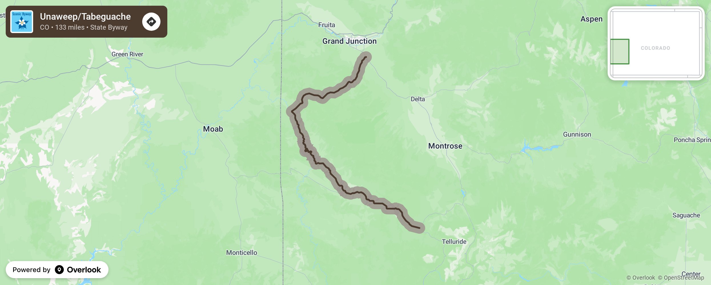
Unaweep/Tabeguache

This drive runs just outside the Uncompahgre National Forest close the Utah border and is filled with history as seen by the geological formations, Native American buildings, petroglyphs, hieroglyphics and more! Unaweep Tabeguache will take you through a canyon for most of the way as it follows the Dolores and San Miguel rivers. Over the years, these water sources slowly ate away at the soft sandstone, creating the rugged flat-top canyon enjoyed now for its vast vertical walls and cliffs. More from National Scenic Byway Foundation →
Embed this map on your site
You are welcome to add this map to your own website for free, as long as you do so using the below code snippet in its entirety.
Please get in touch with us if you have any questions!
      <iframe src="https://overlookmaps.com/byways/co-unaweep-tabeguache-scenic-and-historic-byway"></iframe>
    <a href="https://overlookmaps.com/">Map courtesy of Overlook Maps</a>