Peak to Peak Scenic and Historic Byway

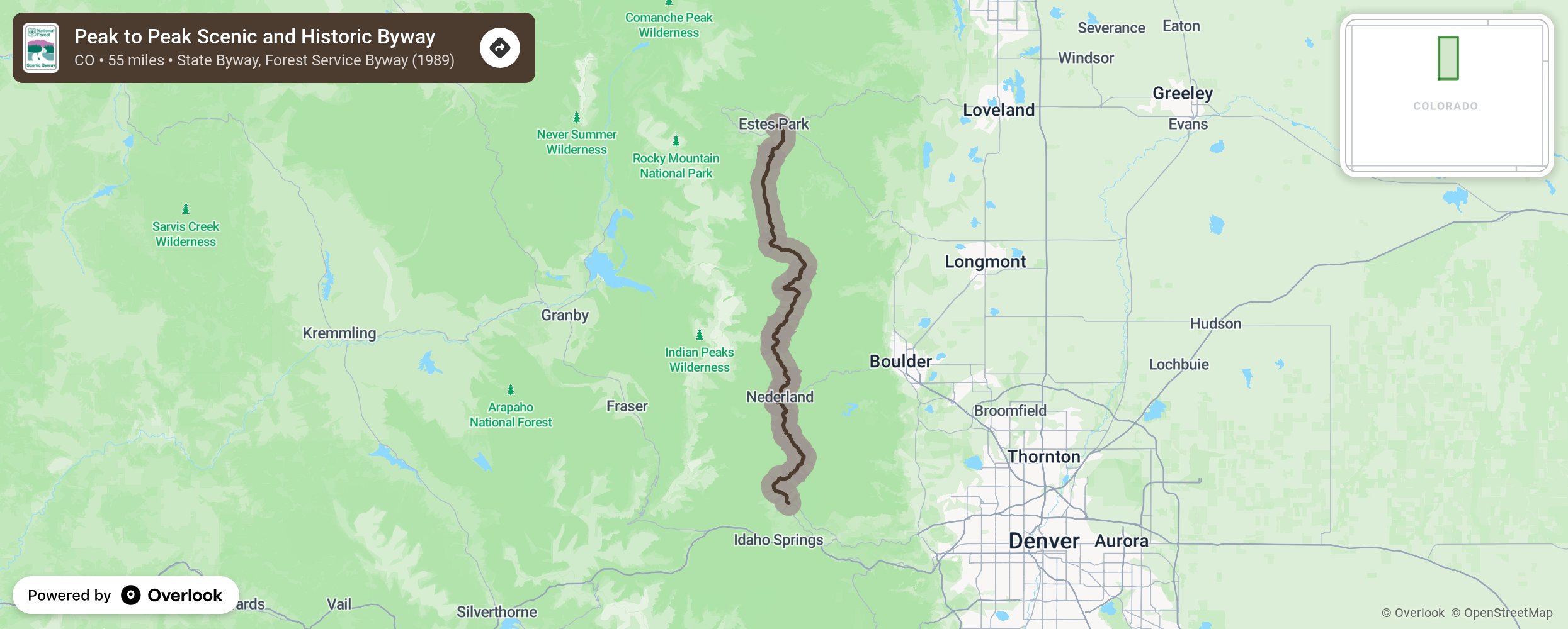
This route brings travelers up close and parallel with the Continental Divide for a tour of ghost towns and Victorian-era opulence, showcasing the Front Range. Less than an hour from Denver, Boulder, or Fort Collins, drivers can visit popular attractions along the way. Combine recreation with nature preservation and visit Rocky Mountain National Park, Golden Gate Canyon State Park, Arapaho and Roosevelt National Forests, the Indian Peaks Wilderness Area, or Eldora Ski Resort. Visitors can also travel the gravel roads criss-crossing the main highway to high-country lakes, trailheads, campgrounds, the Moffat Tunnel's east portal, and ghost towns at Hesse and Apex. More from National Scenic Byway Foundation →
Embed this map on your site
You are welcome to add this map to your own website for free, as long as you do so using the below code snippet in its entirety.
Please get in touch with us if you have any questions!
      <iframe src="https://overlookmaps.com/byways/co-peak-to-peak-scenic-and-historic-byway"></iframe>
    <a href="https://overlookmaps.com/">Map courtesy of Overlook Maps</a>