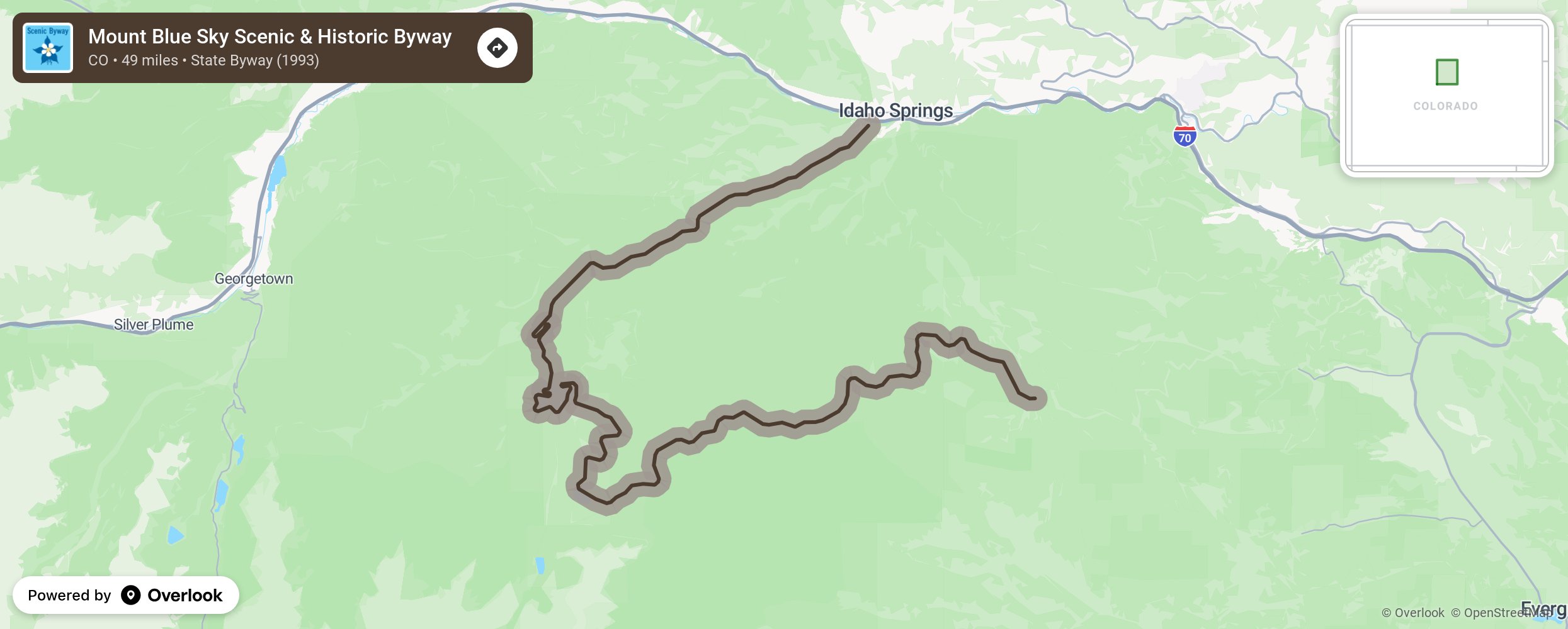
Mount Blue Sky Scenic & Historic Byway

Mount Blue Sky (formerly Mount Evans) is not only the highest Colorado scenic byway, but is also home to the highest-paved road in North America! Climb more than 7,000 feet, reaching an altitude of 14,130 feet along this route. Although Mount Blue Sky feels like a national park, it is actually a wilderness area. This is due to laws enforcing roadless and non-motorized zones in the 1950s, which would become the Wilderness Act of 1964. By that time, the road to the top of the mountain was already partially built and became grandfathered in. This is one of the best places in Colorado to catch a glimpse of the stately bighorn sheep. Climbing that high, that fast, remember that the weather is volatile at times. Be prepared for wind, rain, lightning, snow, and hail any day of the year. More from National Scenic Byway Foundation →
Embed this map on your site
You are welcome to add this map to your own website for free, as long as you do so using the below code snippet in its entirety.
Please get in touch with us if you have any questions!
      <iframe src="https://overlookmaps.com/byways/co-mount-blue-sky-scenic-amp-historic-byway"></iframe>
    <a href="https://overlookmaps.com/">Map courtesy of Overlook Maps</a>