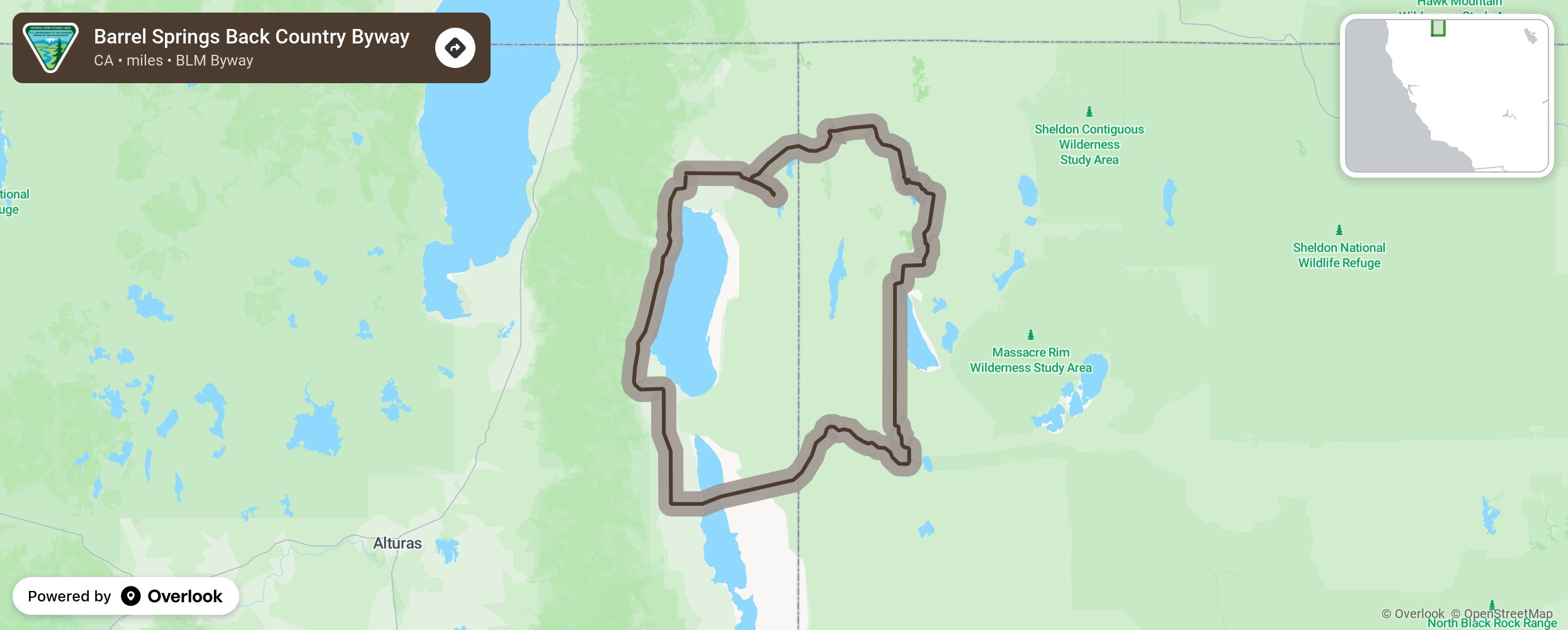
Barrel Springs Back Country Byway

Barrel Springs Back Country Byway travels through a rich landscape, filled with charismatic wildlife and vast open spaces. Old buildings, worn smooth by desert winds, testify of early settlers' attempts to tame one of the wilder portions of the West. Still comparatively uncivilized, this route remains an adventure for hardy travelers.
Beginning and ending in Cedarville, CA, Barrel Springs Back Country Byway takes you through a variety of elevations. Admire junipers and aspens at the higher points and take in the deep blue skies as they contrast with the sage-steppe ecosystem in the valleys. Keep a look out for galloping pronghorn antelope, elusive coyotes, and browsing mule deer alongside a variety of smaller, though no less interesting, native animals. Bring along the binoculars and tick off a few large raptors from your wildlife list.
Load the camera with black-and-white film to capture the stark image of abandoned turn-of-the-century settlements against wispy clouds. You'll pass several ghost towns as you follow sections of the historic California Emigrant Trail along with some well-restored buildings in the towns of Cedarville and Fort Bidwell. Interested in older artifacts? Look for fossils, pre-historic sites, and geological evidence of ancient activity.
More from National Scenic Byway Foundation →Embed this map on your site
You are welcome to add this map to your own website for free, as long as you do so using the below code snippet in its entirety.
Please get in touch with us if you have any questions!
      <iframe src="https://overlookmaps.com/byways/ca-barrel-springs-back-country-byway"></iframe>
    <a href="https://overlookmaps.com/">Map courtesy of Overlook Maps</a>