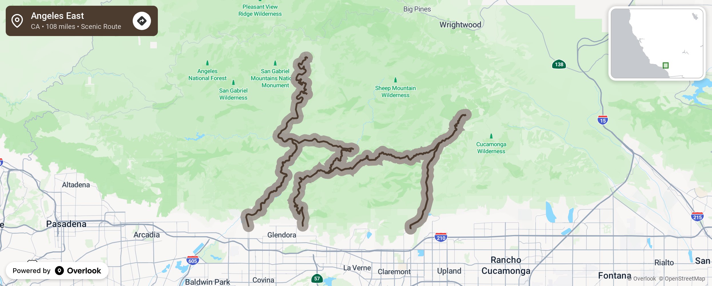
At 10,064 feet, Mount San Antonio (aka Mt. Baldy) is the highest point in LA county and in the San Gabriel mountains. This route totals 108 miles and includes a north-south stretch on Rt. 39 from Azusa, as well as paved forest service roads east to the Mt. Baldy trailhead.
Embed this map on your site
You are welcome to add this map to your own website for free, as long as you do so using the below code snippet in its entirety.