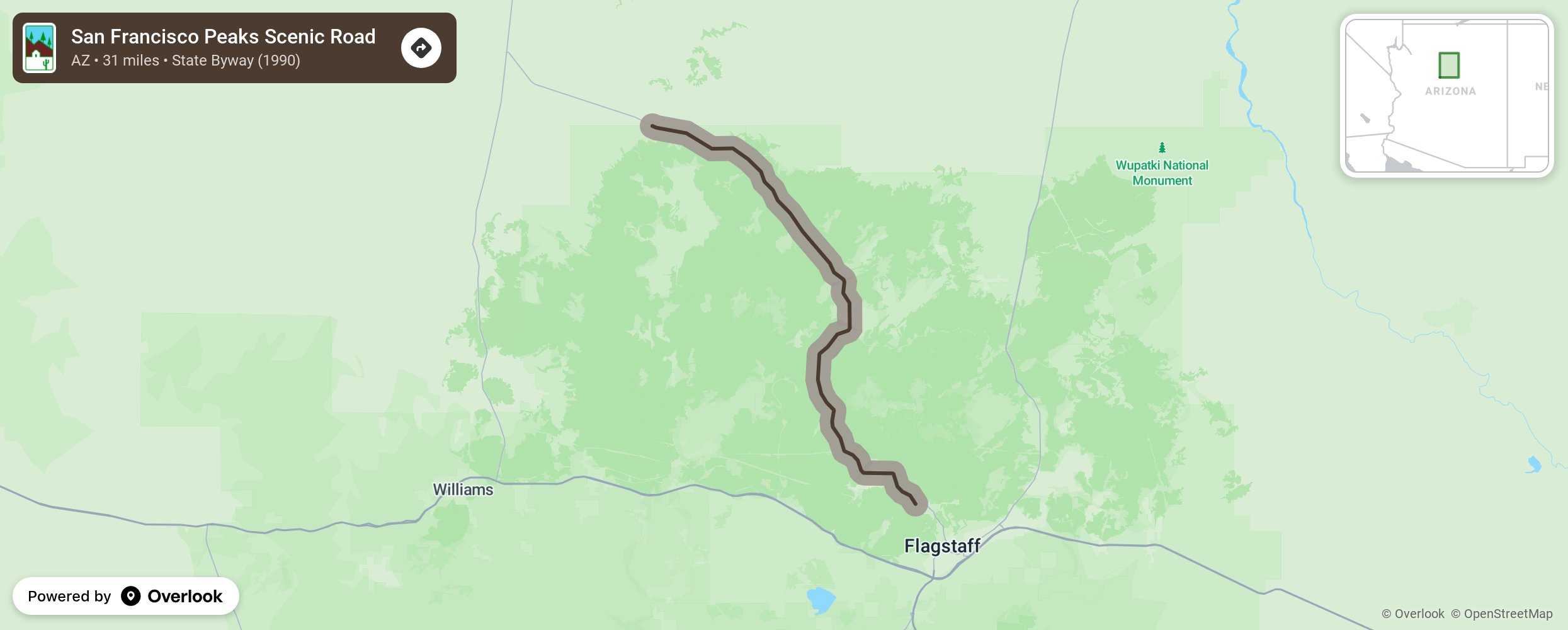
San Francisco Peaks Scenic Road

The San Francisco Peaks Scenic Road follows US Highway 180 outside of Flagstaff and travels through the communities in the San Francisco Peaks in the Kaibab National Forest. The area has remarkable canyons and mountain ranges and includes Mount Humphreys, Arizona’s highest peak at 12,643 feet. Scenery changes from Ponderosa pine forests to desert to mountains. This area is great for seeing remains of cliff dwellings and in the winter, for skiing. More from National Scenic Byway Foundation →
Embed this map on your site
You are welcome to add this map to your own website for free, as long as you do so using the below code snippet in its entirety.
Please get in touch with us if you have any questions!
      <iframe src="https://overlookmaps.com/byways/az-san-francisco-peaks-scenic-road"></iframe>
    <a href="https://overlookmaps.com/">Map courtesy of Overlook Maps</a>