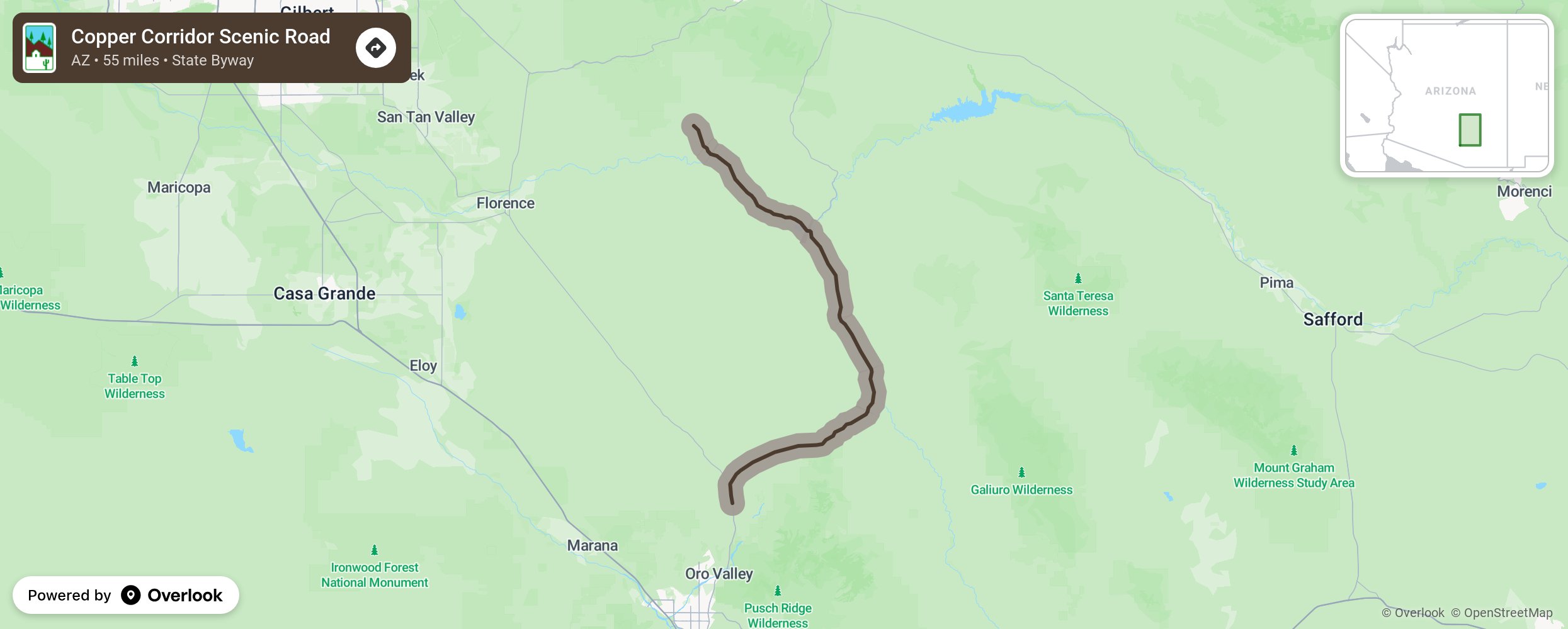
Copper Corridor Scenic Road

This byway travels between Ray, just south of Phoenix, and Saddlebrooke, just north of Tucson taking State Routes 77 for 35 miles and 177 for 20 miles. Sites along the way are the Bioshpere2, located between Saddlebrooke and Oracle. This earth science attraction offers tours. Then visit the Lower San Pedro River State Wildlife Area and the Aravaipa Canyon Wilderness to the east of State Route 77. The Kelvin Bridge and parking for the Arizona Trail lies to the west of Route 177 as does the White Canyon Wilderness. If you want to escape the outdoors for a bit, try your luck at the Apache Sky Casino. More from National Scenic Byway Foundation →
Embed this map on your site
You are welcome to add this map to your own website for free, as long as you do so using the below code snippet in its entirety.
Please get in touch with us if you have any questions!
      <iframe src="https://overlookmaps.com/byways/az-copper-corridor-scenic-road"></iframe>
    <a href="https://overlookmaps.com/">Map courtesy of Overlook Maps</a>