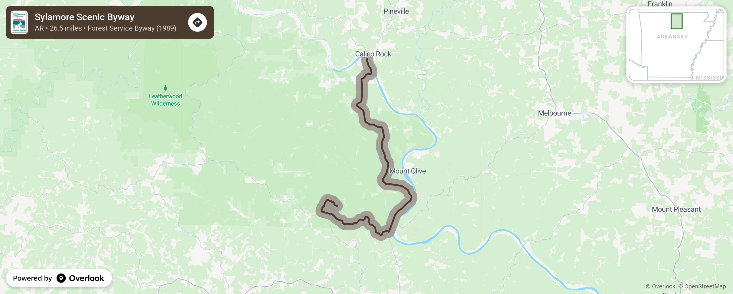
Sylamore Scenic Byway

This Forest Service Byway is in the southeast corner of the Ozark National Forest, beginning at Calico Rock to Blanchard Spring Caverns. Hiking trails treat the visitor to views of the many hillsides and waterfalls. The white oak-hickory forest puts on a colorful show in the early spring when the dogwoods and redbuds bloom and in autumn as the leaves change. More from National Scenic Byway Foundation →
Embed this map on your site
You are welcome to add this map to your own website for free, as long as you do so using the below code snippet in its entirety.
Please get in touch with us if you have any questions!
      <iframe src="https://overlookmaps.com/byways/ar-sylamore-scenic-byway"></iframe>
    <a href="https://overlookmaps.com/">Map courtesy of Overlook Maps</a>