Star Valley Scenic Byway

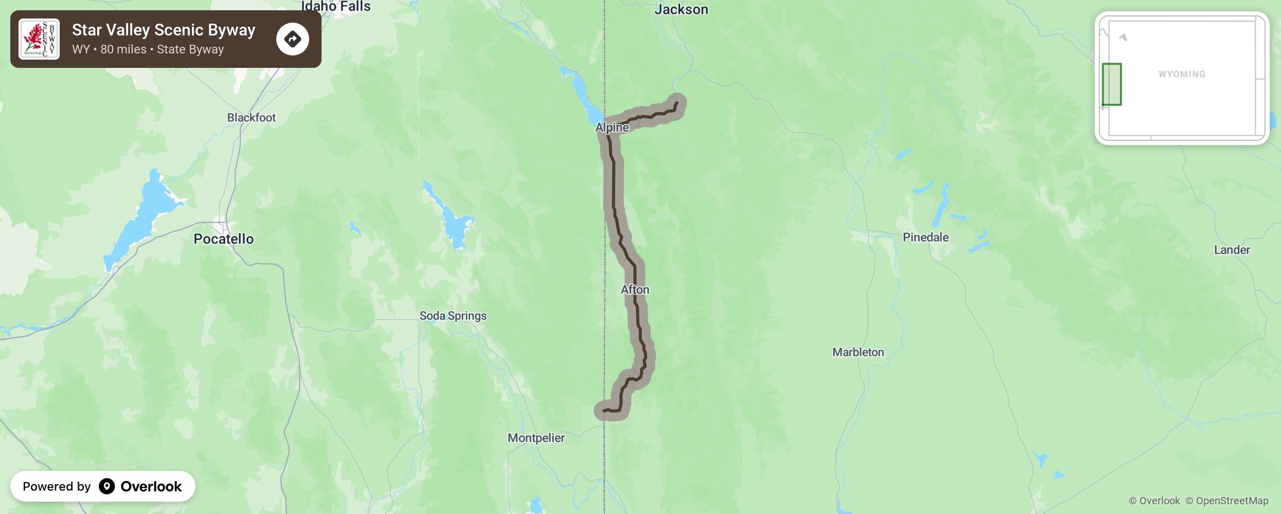
The south end of the byway is milepost 54.9 where U.S. 89 crosses the Idaho state line a few miles north of Geneva Junction, Idaho., It continues from there at first east, and then north as it climbs Salt Canyon to the 7610foot summit of Salt River Pass. From the summit, U.S. 89 continues generally north as it descends into Star Valley, continuing through the communities of Smoot, Afton, Grover, Thayne and Etna before reaching Alpine. There, the byway continues to the east as U.S. 26-89 into Snake River Canyon to its northernmost point at the Lincoln-Teton county line about nine miles south of Hoback Junction. More from National Scenic Byway Foundation →
Embed this map on your site
You are welcome to add this map to your own website for free, as long as you do so using the below code snippet in its entirety.
Please get in touch with us if you have any questions!
      <iframe src="https://overlookmaps.com/byways/wy-star-valley-scenic-byway"></iframe>
    <a href="https://overlookmaps.com/">Map courtesy of Overlook Maps</a>