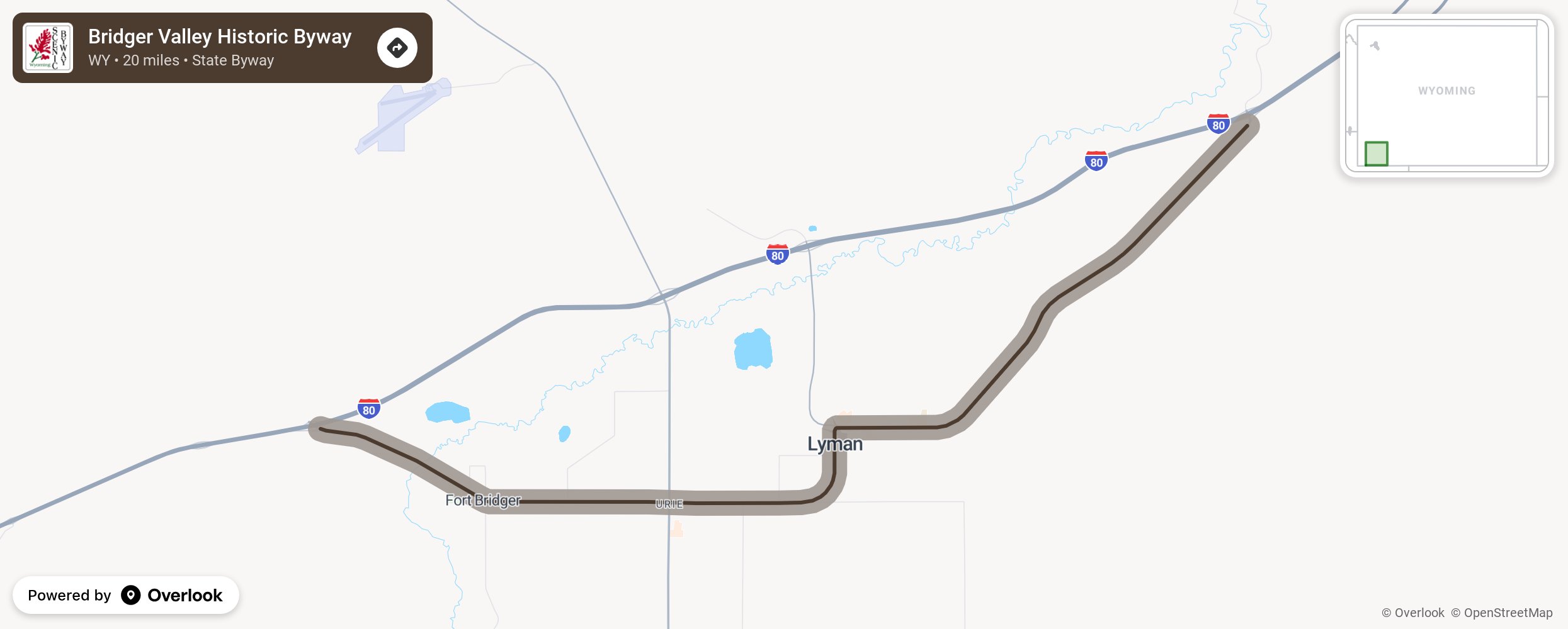
Bridger Valley Historic Byway

The Bridger Valley Historic Byway was the place where all the historical trails met: the crossroads for the California/Oregon Trail, the Mormon Trail, the Pony Express Route, the Transcontinental Railroad and the Lincoln Highway, thousands of travelers have passed through these parts. These days, it’s a 20-mile loop that incorporates Fort Bridger, Urie, Mountain View and Lyman. More from National Scenic Byway Foundation →
Embed this map on your site
You are welcome to add this map to your own website for free, as long as you do so using the below code snippet in its entirety.
Please get in touch with us if you have any questions!
      <iframe src="https://overlookmaps.com/byways/wy-bridger-valley-historic-byway"></iframe>
    <a href="https://overlookmaps.com/">Map courtesy of Overlook Maps</a>