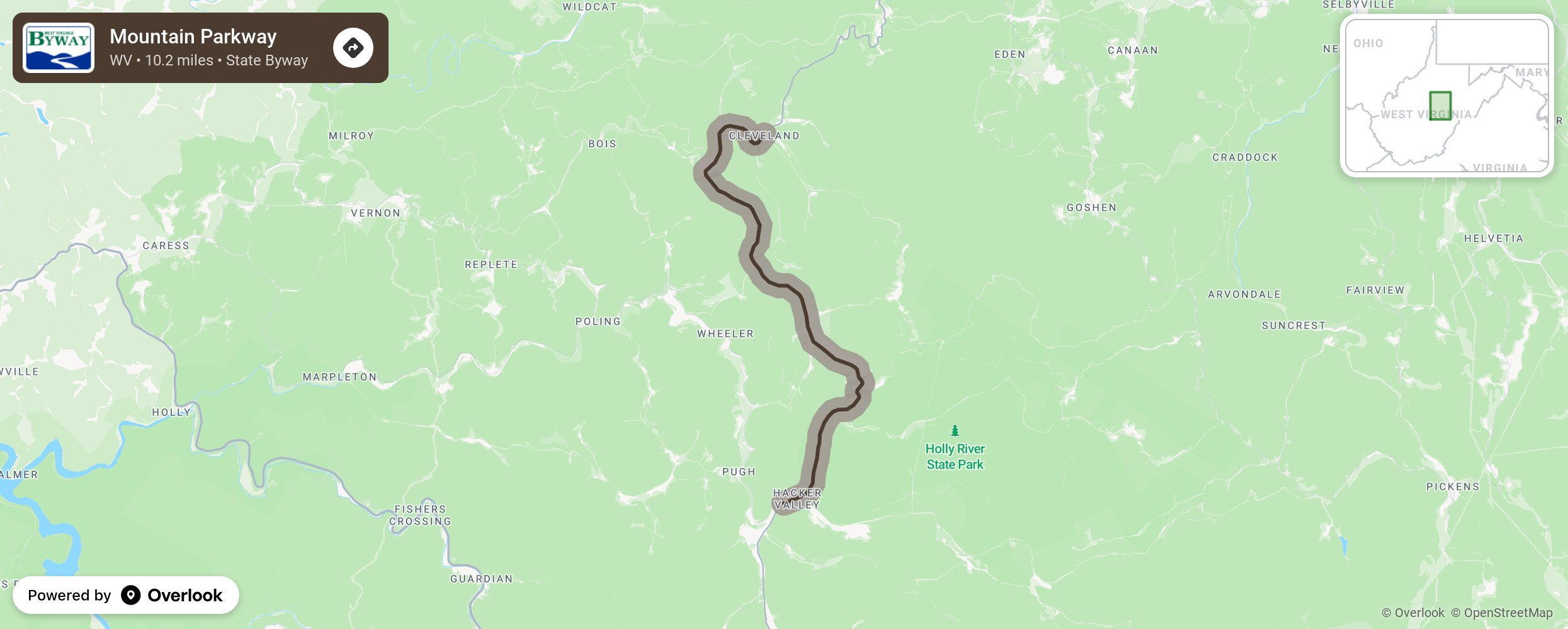
The Byway is a 10.2 mile section of WV 20 going through the communities of Cleveland and Hacker Valley. The Byway traverses the headwaters of several mountain streams including the Right Fork Little Kanawha River, Jerry Run, and the Laurel Forks and the left fork of the Holly River. www.visitwebsterwv.com/
More from National Scenic Byway Foundation →
Embed this map on your site
You are welcome to add this map to your own website for free, as long as you do so using the below code snippet in its entirety.