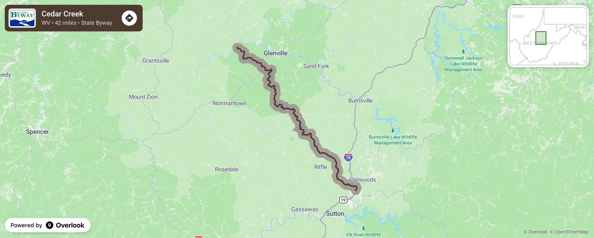
This 42-mile byway follows county roads in Gilmer and Braxton counties from State Route 5 near Glenville to Interstate 79 at Flatwoods. The backway offers views of farms and forested hills and takes visitors to Cedar Creek State Park.
More from National Scenic Byway Foundation →
Embed this map on your site
You are welcome to add this map to your own website for free, as long as you do so using the below code snippet in its entirety.