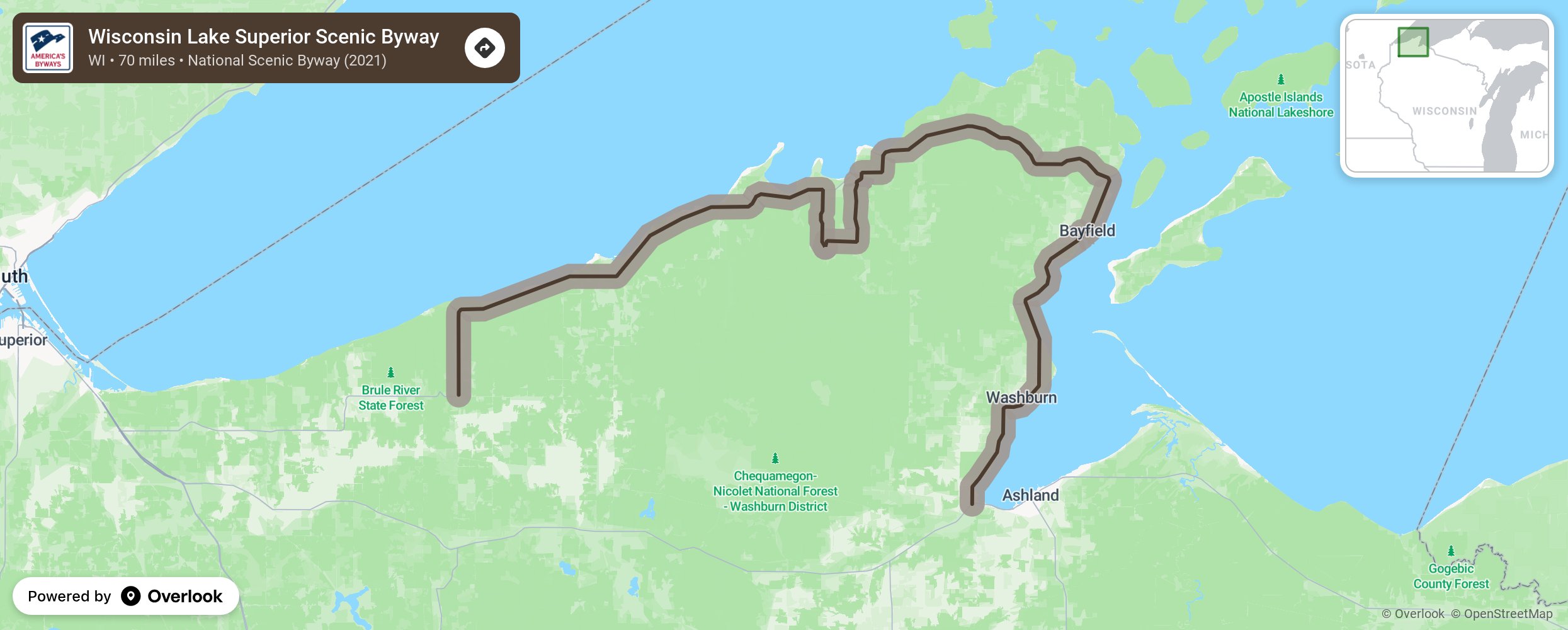
Wisconsin Lake Superior Scenic Byway

The Wisconsin Lake Superior Byways (WLSSB) follows 70 miles of Wisconsin State Highway 13 along the southern shore of Lake Superior. The majesty of Lake Superior unfolds along the Byway with sweeping views of the “Big Lake.” The Byway follows the shoreline of the Bayfield Peninsula, passing through quaint harbor towns & historic fishing villages, near dozens of orchards & fruit farms, along miles of sand beach and the home of the Red Cliff Band of Lake Superior Chippewa. Densely forested lands provide a spectacular backdrop to the year ‘round recreational opportunities that abound with hundreds of miles of hiking, biking, snowmobile, ATV and cross-county ski trails. More from National Scenic Byway Foundation →
Embed this map on your site
You are welcome to add this map to your own website for free, as long as you do so using the below code snippet in its entirety.
Please get in touch with us if you have any questions!
      <iframe src="https://overlookmaps.com/byways/wi-wisconsin-lake-superior-scenic-byway"></iframe>
    <a href="https://overlookmaps.com/">Map courtesy of Overlook Maps</a>