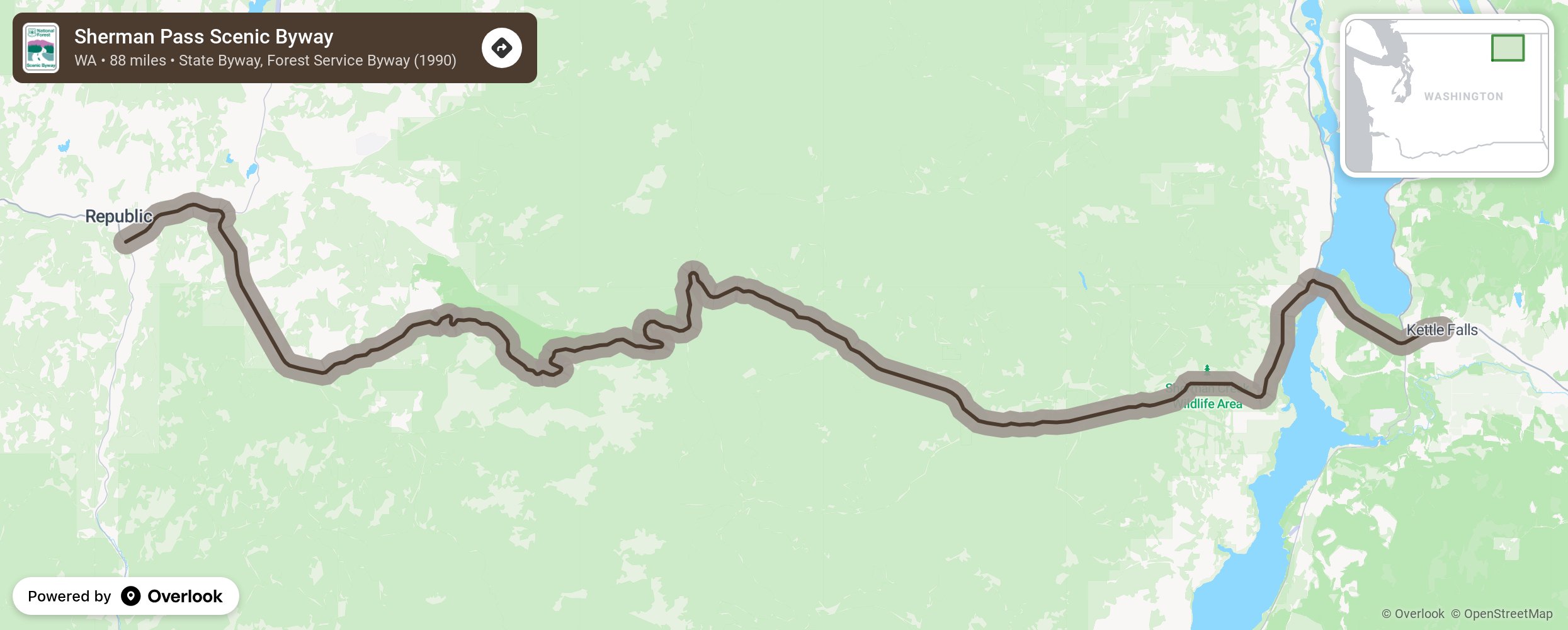
The 88-mile Sherman Pass Scenic Byway begins in the town of Republic on SR-20 and runs east across Sherman Pass–Washington’s highest maintained pass at 5,575 feet—through the Colville National Forest and to the town of Kettle Falls.
More from National Scenic Byway Foundation →
Embed this map on your site
You are welcome to add this map to your own website for free, as long as you do so using the below code snippet in its entirety.