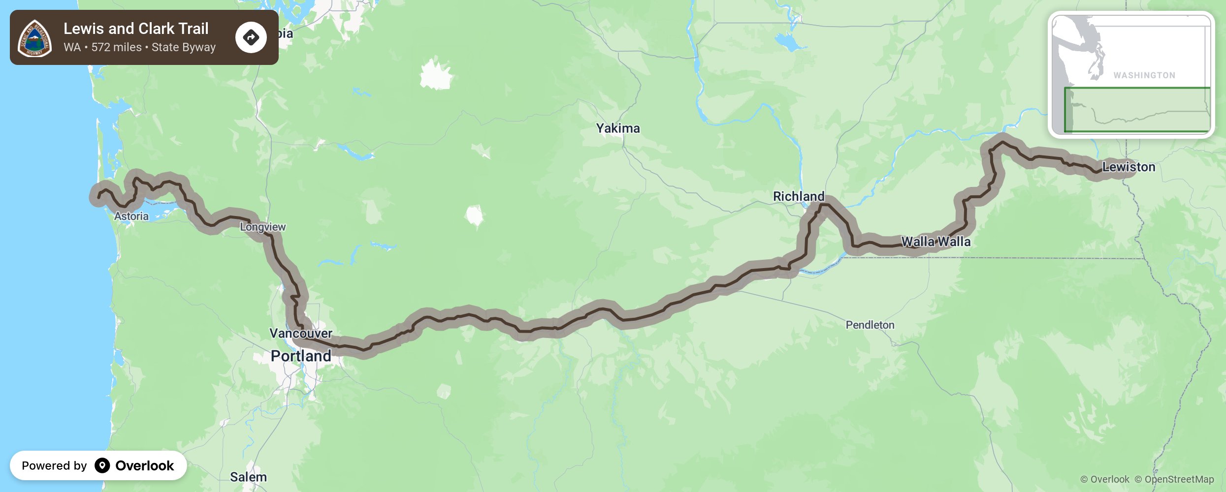
Lewis and Clark Trail

Lewis and Clark's epic 572-mile adventure through Washington and along the Columbia River was among the most vivid and compelling episodes of their journey. In 1805, the Corps of Discovery entered present-day Washington State near Clarkston in the Hells Canyon region where the Snake, Salmon and Clearwater rivers converge. Beacon Rock is noted as the first place they detected tidal influences and realized they were nearing the Pacific. More from National Scenic Byway Foundation →
Embed this map on your site
You are welcome to add this map to your own website for free, as long as you do so using the below code snippet in its entirety.
Please get in touch with us if you have any questions!
      <iframe src="https://overlookmaps.com/byways/wa-lewis-and-clark-trail-highway"></iframe>
    <a href="https://overlookmaps.com/">Map courtesy of Overlook Maps</a>