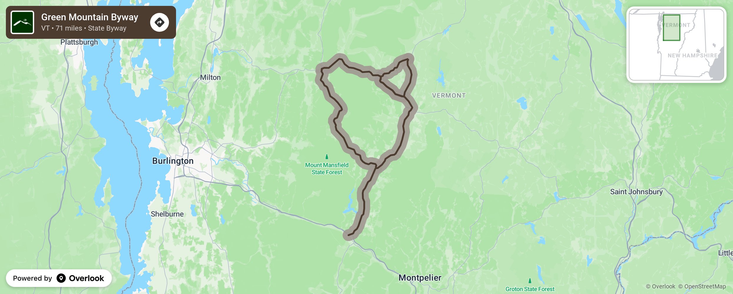
Green Mountain Byway

The Green Mountain Byway travels through the towns of Waterbury and Stowe between the spine of the northern Green Mountains to the west and the peaks of the Worcester Range to the east. The Byway provides stunning views of open meadows, farmland, forests, and waterfalls all with a spectacular mountain backdrop. Historic homes, farmsteads, villages, mill sites, the Waterbury Reservoir and three state parks are accessible along the route as is the area’s most prominent natural feature, Mount Mansfield - Vermont’s highest peak - which provides ample opportunities for recreation. Discover local foods from the farms and producers in the area. More from National Scenic Byway Foundation →
Embed this map on your site
You are welcome to add this map to your own website for free, as long as you do so using the below code snippet in its entirety.
Please get in touch with us if you have any questions!
      <iframe src="https://overlookmaps.com/byways/vt-green-mountain-byway"></iframe>
    <a href="https://overlookmaps.com/">Map courtesy of Overlook Maps</a>